Raibacher Tal
Raibacher Tal is a campsite in Hesse, Germany. Raibacher Tal is situated nearby to Reit u. Fahrverein Gr-Umstadt, as well as near the historic building Wasserwerk am Knoß.| Tap on a place to explore it |
Places of Interest Nearby
Highlights include Herrnberg von Groß-Umstadt and Groß-Umstadt Mitte railway station.
Herrnberg von Groß-Umstadt
Nature reserve

Photo: Commander-pirx, CC BY-SA 4.0.
Herrnberg von Groß-Umstadt is a nature reserve.
Groß-Umstadt Mitte railway station
Railway station

Photo: Domjtri, CC BY-SA 4.0.
Groß-Umstadt Mitte railway station is situated 1½ km west of Raibacher Tal.
Pfälzer Schloss
Building
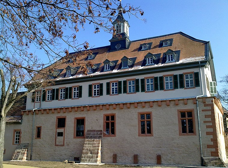
Photo: Commander-pirx, CC BY-SA 3.0.
Pfälzer Schloss is a building, which is situated 1½ km west of Raibacher Tal.
Places in the Area
Nearby places include Raibach and Heubach.

Heubach
Village

Photo: Thiotrix, CC BY-SA 4.0.
Heubach is a village, which is situated 3½ km southeast of Raibacher Tal.
Dorndiel
Village

Photo: Presse03, CC BY-SA 3.0.
Dorndiel is a village, which is situated 5 km east of Raibacher Tal.
Raibacher Tal
- Type: Campsite
- Categories: tourism, meadow, and camping
- Location: Hesse, Germany, Central Europe, Europe
- View on OpenStreetMap
Latitude
49.8702° or 49° 52′ 13″ northLongitude
8.94672° or 8° 56′ 48″ eastOperator
GerbigOpen location code
8FXCVWCW+3MOpenStreetMap ID
way 288179182OpenStreetMap feature
landuse=meadowOpenStreetMap feature
tourism=camp_site
This page is based on OpenStreetMap, Wikidata, and Wikimedia Commons.
We’d love your help improving our open data sources. Thank you for contributing.
Satellite Map
Discover Raibacher Tal from above in high-definition satellite imagery.
Notable Places Nearby
Highlights include Reit u. Fahrverein Gr-Umstadt and Wasserwerk am Knoß.
Nearby Places
Explore places such as Waldkindergarten and Feurige Zeiten.
Hesse: Must-Visit Destinations
Delve into Frankfurt, Wiesbaden, Darmstadt, and Kassel.
Curious Campsites to Discover
Uncover intriguing campsites from every corner of the globe.
About Mapcarta. Data © OpenStreetMap contributors and available under the Open Database License". Text is available under the CC BY-SA 4.0 license, except for photos, directions, and the map. Photo: Pedelecs, CC BY-SA 3.0.