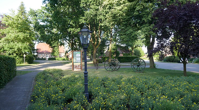
Bauhof Gemeinde
Bauhof Gemeinde is a building in Großenkneten, Oldenburg, Lower Saxony. Bauhof Gemeinde is situated nearby to Großenkneten railway station, as well as near the playground Molkereiweg.| Tap on a place to explore it |
Places of Interest Nearby
Highlights include Großsteingrab Bakenhus and Sage War Cemetery.
Großsteingrab Bakenhus
Archaeological site

Photo: Einsamer Schütze, CC BY-SA 3.0.
Großsteingrab Bakenhus is an archaeological site, which is situated 2 km south of Bauhof Gemeinde.
Sage War Cemetery
Cemetery

Photo: Wikimedia, CC BY-SA 4.0.
Sage War Cemetery is situated 2½ km west of Bauhof Gemeinde.
Huntloser Moor
Nature reserve

Photo: Ralf Krebs, CC BY 3.0.
Huntloser Moor is a nature reserve, which is situated 4 km northeast of Bauhof Gemeinde.
Places in the Area
Nearby places include Großenkneten and Ahlhorn.
Großenkneten
Village

Photo: WilfriedC, CC BY-SA 3.0.
Großenkneten is a municipality in the district of Oldenburg, in Lower Saxony, Germany.
Ahlhorn
Village

Photo: Corradox, CC BY-SA 3.0.
Ahlhorn is a village, which is situated 5 km south of Bauhof Gemeinde.
Bauhof Gemeinde
- Type: Building
- Location: Großenkneten, Oldenburg, Lower Saxony, Germany, Central Europe, Europe
- View on OpenStreetMap
Latitude
52.94401° or 52° 56′ 38″ northLongitude
8.24147° or 8° 14′ 29″ eastOpen location code
9F4CW6VR+JHOpenStreetMap ID
way 289202388OpenStreetMap feature
building=yes
This page is based on OpenStreetMap, Wikidata, and Wikimedia Commons.
We’d love your help improving our open data sources. Thank you for contributing.
Satellite Map
Discover Bauhof Gemeinde from above in high-definition satellite imagery.
Places with the Same Name
Discover other places named “Bauhof Gemeinde”.
Notable Places Nearby
Highlights include Großenkneten railway station and Molkereiweg.
Nearby Places
Explore places such as Bahnhof and Heidegrashüpfer.
Lower Saxony: Must-Visit Destinations
Delve into Hanover, Göttingen, Brunswick, and Wolfsburg.
Curious Buildings to Discover
Uncover intriguing buildings from every corner of the globe.
About Mapcarta. Data © OpenStreetMap contributors and available under the Open Database License". Text is available under the CC BY-SA 4.0 license, except for photos, directions, and the map. Photo: Danapit, CC BY-SA 3.0.