Stade Jean-François Beaumont
Stade Jean-François Beaumont is a sports venue in Tilloy-lès-Mofflaines, Arrondissement of Arras, Hauts-de-France. Stade Jean-François Beaumont is situated nearby to Tilloy British Cemetery, as well as near the pitch Salle de sports Pierre de Couberti.| Tap on a place to explore it |
Places of Interest Nearby
Highlights include Tilloy British Cemetery and Église Saint-Brice de Tilloy-lès-Mofflaines.
Tilloy British Cemetery
Cemetery
 Tilloy British Cemetery is situated 210 metres northeast of Stade Jean-François Beaumont.
Église Saint-Brice de Tilloy-lès-Mofflaines
Church

Photo: Floflo62, CC BY-SA 3.0.
Église Saint-Brice de Tilloy-lès-Mofflaines is a church, which is situated 550 metres north of Stade Jean-François Beaumont.
Arras station
Railway station
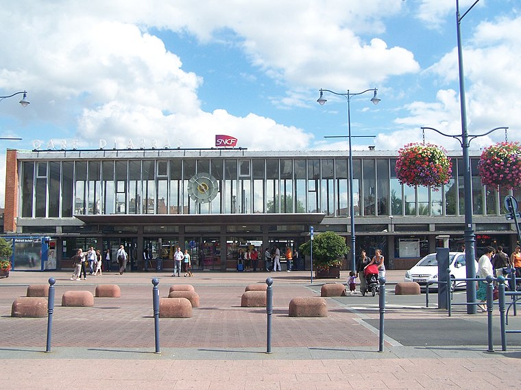
Photo: Floflo, CC BY-SA 3.0.
Arras station is a railway station serving the town Arras, Pas-de-Calais department, northern France. This station, which opened in 1846, is located on the Paris–Lille railway and Arras-Dunkirk railway and accessible from LGV Nord. Arras station is situated 3 km northwest of Stade Jean-François Beaumont.
Places in the Area
Nearby places include Arras and Monchy-le-Preux.
Arras

Photo: Mélanie Huguet, CC BY-SA 3.0.
Arras is an attractive town in the Hauts-de-France region of France. It was much fought-over in World War I and is mainly visited by tourists travelling from or to the nearby ports of Calais and Boulogne.
Monchy-le-Preux
Village

Photo: Pir6mon, CC BY-SA 3.0.
Monchy-le-Preux is a commune in the Pas-de-Calais department in the Hauts-de-France region of France ten kilometres southeast of Arras. Monchy-le-Preux is situated 5 km east of Stade Jean-François Beaumont.
Stade Jean-François Beaumont
- Type: Sports venue
- Categories: recreation area and sports location
- Location: Tilloy-lès-Mofflaines, Arrondissement of Arras, Pas-de-Calais, Hauts-de-France, France, Europe
- View on OpenStreetMap
Latitude
50.27127° or 50° 16′ 17″ northLongitude
2.81841° or 2° 49′ 6″ eastOpen location code
9F247RC9+G9OpenStreetMap ID
way 289447984OpenStreetMap feature
leisure=sports_centre
This page is based on OpenStreetMap, Wikidata, and Wikimedia Commons.
We’d love your help improving our open data sources. Thank you for contributing.
Satellite Map
Discover Stade Jean-François Beaumont from above in high-definition satellite imagery.
Notable Places Nearby
Highlights include Salle de sports Pierre de Couberti and Parc René Lefrère.
Nearby Places
Explore places such as Ateliers Municipaux and Diminue-Tifs.
Hauts-de-France: Must-Visit Destinations
Delve into Lille, Dunkirk, Calais, and Amiens.
Curious Sports Venues to Discover
Uncover intriguing sports venues from every corner of the globe.
About Mapcarta. Data © OpenStreetMap contributors and available under the Open Database License". Text is available under the CC BY-SA 4.0 license, except for photos, directions, and the map. Photo: Tony62, CC BY-SA 3.0.