Pöllinger Hütte
Pöllinger Hütte is a mountain hut in Wolfsberg, Carinthia and has an elevation of 1,641 metres. Pöllinger Hütte is situated nearby to the peak Kleiner Sauofen, as well as near Speikkogel.| Tap on a place to explore it |
Places of Interest Nearby
Highlights include Wolfsberger Hütte and Ladinger Spitz.
Wolfsberger Hütte
Mountain hut

Photo: Mefusbren69, Public domain.
Wolfsberger Hütte is a mountain hut, which is situated 1½ km northwest of Pöllinger Hütte.
Ladinger Spitz
Peak

Photo: Wikimedia, Public domain.
Ladinger Spitz is a peak, which is situated 3½ km north of Pöllinger Hütte.
Places in the Area
Nearby places include Grafenbach and Diex.
Grafenbach
Village
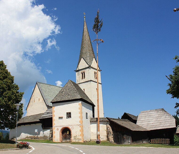
Photo: Mefusbren69, Public domain.
Grafenbach is a village, which is situated 9 km south of Pöllinger Hütte.
Diex
Village

Photo: Johann Jaritz, CC BY-SA 4.0.
Diex is a town in the district of Völkermarkt in Austrian state of Carinthia. It is known for its Gothic fortified church on a hilltop. Diex is situated 10 km southwest of Pöllinger Hütte.
Pöllinger Hütte
- Type: Mountain hut
- Address: 1, Reisberg, Wolfsberg, 9431
- Categories: building, tourism, and accommodation
- Location: Wolfsberg, Wolfsberg District, Carinthia, Austria, Central Europe, Europe
- View on OpenStreetMap
Latitude
46.82345° or 46° 49′ 24″ northLongitude
14.66961° or 14° 40′ 11″ eastElevation
1,641 metres (5,384 feet)Open location code
8FRPRMF9+9ROpenStreetMap ID
way 289617470OpenStreetMap feature
building=yesOpenStreetMap feature
tourism=alpine_hut
This page is based on OpenStreetMap, Wikidata, and Wikimedia Commons.
We’d love your help improving our open data sources. Thank you for contributing.
Satellite Map
Discover Pöllinger Hütte from above in high-definition satellite imagery.
Places with the Same Name
Discover other places named “Pöllinger Hütte”.
Notable Places Nearby
Highlights include Kleiner Sauofen and Speikkogel.
Nearby Places
Explore places such as Reisberger Hütte and Polzhütte.
Carinthia: Must-Visit Destinations
Delve into Klagenfurt, Villach, Wörthersee, and Spittal an der Drau.
Curious Mountain Huts to Discover
Uncover intriguing mountain huts from every corner of the globe.
About Mapcarta. Data © OpenStreetMap contributors and available under the Open Database License". Text is available under the CC BY-SA 4.0 license, except for photos, directions, and the map. Photo: Wikimedia, CC BY-SA 3.0.