Pacflex Verpackungen GmbH
Pacflex Verpackungen GmbH is a building in Walsrode, Heidekreis, Lower Saxony which is located on Hanns-Hoerbiger-Straße. Pacflex Verpackungen GmbH is situated nearby to the health club Heinrich’s Fitness, as well as near Exact Ems Studio.| Tap on a place to explore it |
Places of Interest Nearby
Highlights include Walsrode station and Stadtkirche.
Walsrode station
Railway station

Photo: Wikimedia, Public domain.
Walsrode station is a railway station, which is situated 1 km west of Pacflex Verpackungen GmbH.
Stadtkirche
Church
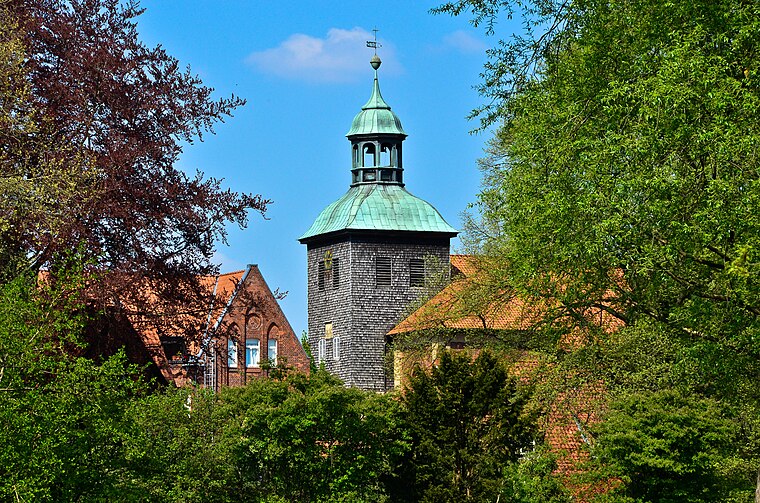
Photo: Fiorellino, CC BY-SA 3.0.
Stadtkirche is a church, which is situated 1¼ km west of Pacflex Verpackungen GmbH.
Walsrode Abbey
Monastery

Photo: Ulamm, CC BY-SA 4.0.
Walsrode Abbey in Walsrode, Germany, is an Evangelical-Lutheran women's convent that is maintained by the Hanover monastic chamber. It is one of the historic monasteries of Benedictine nuns on the Lüneburg Heath in North Germany which are collectively known as the Lüneklöster. Walsrode Abbey is situated 1¼ km west of Pacflex Verpackungen GmbH.
Places in the Area
Nearby places include Borg and Uetzingen.
Borg
Village

Photo: Fiorellino, CC BY-SA 3.0.
Borg is a village, which is situated 3 km north of Pacflex Verpackungen GmbH.
Uetzingen
Village
Uetzingen is a village in the town of Walsrode in North Germany. It lies in the Lower Saxon district of Heidekreis. The village has 462 inhabitants and its parish covers an area of 10 km2. Uetzingen is situated 3½ km northeast of Pacflex Verpackungen GmbH.
Düshorn
Village

Photo: Losch, CC BY-SA 3.0.
Düshorn is a village, which is situated 3½ km south of Pacflex Verpackungen GmbH.
Pacflex Verpackungen GmbH
- Type: Building
- Address: Hanns-Hoerbiger-Straße 8
- Location: Walsrode, Heidekreis, Lüneburg Heath, Lower Saxony, Germany, Central Europe, Europe
- View on OpenStreetMap
Latitude
52.86261° or 52° 51′ 45″ northLongitude
9.61367° or 9° 36′ 49″ eastOpen location code
9F4FVJ77+2FOpenStreetMap ID
way 290566880OpenStreetMap feature
building=yes
This page is based on OpenStreetMap, Wikidata, and Wikimedia Commons.
We’d love your help improving our open data sources. Thank you for contributing.
Satellite Map
Discover Pacflex Verpackungen GmbH from above in high-definition satellite imagery.
Notable Places Nearby
Highlights include Heinrich’s Fitness and Exact Ems Studio.
Nearby Places
Explore places such as Wilfried Meyer GmbH and Rüdiger Dageförde.
Lüneburg Heath: Must-Visit Destinations
Delve into Lüneburg, Celle, Gifhorn, and Soltau.
Curious Buildings to Discover
Uncover intriguing buildings from every corner of the globe.
About Mapcarta. Data © OpenStreetMap contributors and available under the Open Database License". Text is available under the CC BY-SA 4.0 license, except for photos, directions, and the map. Photo: Fiorellino, CC BY-SA 3.0.