Capela Nossa Senhora da Conceição
Capela Nossa Senhora da Conceição is a church in Vila de Cucujães, Oliveira de Azeméis Municipality, Aveiro District which is located on Rua Nossa Senhora da Conceição. Capela Nossa Senhora da Conceição is situated nearby to the church Capela da quinta do Alves, as well as near the railway stop Faria railway halt.| Tap on a place to explore it |
- Type: Church
- Denomination: Roman Catholic
- Address: Rua Nossa Senhora da Conceição, Cucujães
Places of Interest Nearby
Highlights include Faria railway halt and Couto de Cucujães railway halt.
Faria railway halt
Railway stop

Photo: JP Ribeiro, CC BY-SA 4.0.
Faria railway halt is a railway stop, which is situated 410 metres northwest of Capela Nossa Senhora da Conceição.
Couto de Cucujães railway halt
Railway station
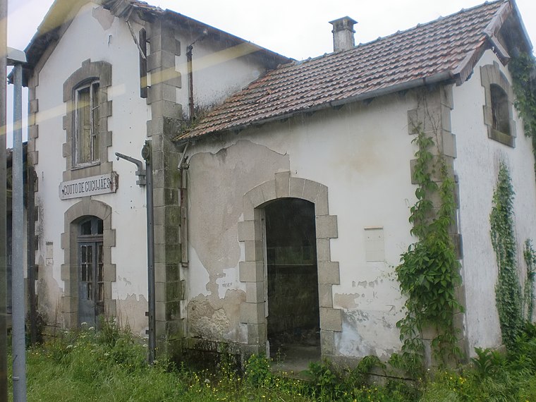
Photo: JP Ribeiro, CC BY-SA 4.0.
Couto de Cucujães railway halt is a railway station, which is situated 1 km south of Capela Nossa Senhora da Conceição.
Capela de Nossa Senhora dos Milagres
Church

Photo: Patricealmeida, CC BY-SA 3.0.
Capela de Nossa Senhora dos Milagres is a church, which is situated 1¼ km north of Capela Nossa Senhora da Conceição.
Places in the Area
Nearby places include Vila de Cucujães and Macieira de Sarnes.

Macieira de Sarnes
Village

Photo: RSAlmeida, CC BY-SA 4.0.
Macieira de Sarnes is a village, which is situated 3½ km northeast of Capela Nossa Senhora da Conceição.
Arrifana
Town

Photo: Rui T. Pinto, CC BY-SA 4.0.
Arrifana is a Portuguese parish, located in the municipality of Santa Maria da Feira. The population in 2011 was 6,551, in an area of 5.29 km2. Its local inhabitants are known as Arrifanense. Arrifana is situated 4 km north of Capela Nossa Senhora da Conceição.
Capela Nossa Senhora da Conceição
- Categories: building, chapel, place of worship, and religion
- Location: Vila de Cucujães, Oliveira de Azeméis Municipality, Aveiro District, Portugal, Iberia, Europe
- View on OpenStreetMap
Latitude
40.87772° or 40° 52′ 40″ northLongitude
-8.49045° or 8° 29′ 26″ westOpen location code
8CGHVGH5+3ROpenStreetMap ID
way 291007514OpenStreetMap feature
amenity=place_of_worshipOpenStreetMap feature
building=chapelOpenStreetMap attribute
denomination=roman_catholic
This page is based on OpenStreetMap, Wikidata, and Wikimedia Commons.
We’d love your help improving our open data sources. Thank you for contributing.
Satellite Map
Discover Capela Nossa Senhora da Conceição from above in high-definition satellite imagery.
Places with the Same Name
Discover other places named “Capela Nossa Senhora da Conceição”.
Notable Places Nearby
Highlights include Capela Nossa Senhora da Conceição and Capela da quinta do Alves.
Nearby Places
Explore places such as Centro Paroquial Nossa Senhora da Conceição and Alminhas de Faria de Cima.
Portugal: Must-Visit Destinations
Delve into Lisbon, Caldas da Rainha, Porto, and Coimbra.
Curious Churches to Discover
Uncover intriguing churches from every corner of the globe.
About Mapcarta. Data © OpenStreetMap contributors and available under the Open Database License". Text is available under the CC BY-SA 4.0 license, except for photos, directions, and the map. Photo: Tsy1980, CC BY-SA 4.0.