BWS 1993
BWS 1993 is a building in Albbruck, Waldshut, Baden-Württemberg. BWS 1993 is situated nearby to the fire station Feuerwehr Allbruck Abt. Schachen, as well as near the village Etzgen.| Tap on a place to explore it |
Places of Interest Nearby
Highlights include Burg Hauenstein and Albbruck station.
Burg Hauenstein
Scenic viewpoint

Photo: Schaema3, Public domain.
Burg Hauenstein is a scenic viewpoint, which is situated 2 km southeast of BWS 1993.
Albbruck station
Railway station
 Albbruck station is a railway station in the town of Albbruck, Baden-Württemberg, Germany. The station lies on the High Rhine Railway. The train services are operated by Deutsche Bahn. Albbruck station is situated 3 km east of BWS 1993.
Rheinbrücke Albbruck–Schwaderloch
Bridge

Photo: Figugegl, CC BY-SA 4.0.
Rheinbrücke Albbruck–Schwaderloch is a bridge, which is situated 3½ km east of BWS 1993.
Places in the Area
Nearby places include Etzgen and Schwaderloch.
Etzgen
Village
Etzgen was a municipality in the district of Laufenburg in the canton of Aargau in Switzerland. On 1 January 2010, the municipalities of Hottwil, Etzgen, Mettau, Oberhofen AG and Wil AG merged into the municipality of Mettauertal. Etzgen is situated 3½ km south of BWS 1993.
Schwaderloch
Village
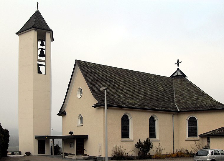
Photo: Rauenstein, CC BY-SA 3.0.
Schwaderloch is a municipality in the district of Laufenburg in the canton of Aargau in Switzerland. Schwaderloch is situated 4 km southeast of BWS 1993.
Görwihl
Village

Photo: Ssch, CC BY-SA 3.0.
Görwihl is a municipality in the district of Waldshut in Baden-Württemberg in Germany. Görwihl is situated 4½ km north of BWS 1993.
BWS 1993
- Type: Building
- Location: Albbruck, Waldshut, Freiburg Region, Baden-Württemberg, Germany, Central Europe, Europe
- View on OpenStreetMap
Latitude
47.60032° or 47° 36′ 1″ northLongitude
8.09361° or 8° 5′ 37″ eastOpen location code
8FVCJ32V+4COpenStreetMap ID
way 291238115OpenStreetMap feature
building=yes
This page is based on OpenStreetMap, Wikidata, and Wikimedia Commons.
We’d love your help improving our open data sources. Thank you for contributing.
Satellite Map
Discover BWS 1993 from above in high-definition satellite imagery.
Notable Places Nearby
Highlights include Feuerwehr Allbruck Abt. Schachen and Autocrossstrecke.
Nearby Places
Explore places such as Lager Holzparadies Gäng e.K. and Schreinerei Gäng.
Baden-Württemberg: Must-Visit Destinations
Delve into Stuttgart, Heidelberg, Karlsruhe, and Mannheim.
Curious Buildings to Discover
Uncover intriguing buildings from every corner of the globe.
About Mapcarta. Data © OpenStreetMap contributors and available under the Open Database License". Text is available under the CC BY-SA 4.0 license, except for photos, directions, and the map. Photo: Traveler100, CC BY-SA 3.0.