Gemeindeverwaltung Sauldorf
Gemeindeverwaltung Sauldorf is a town hall in Sauldorf, Sigmaringen, Baden-Württemberg which is located on Hauptstraße. Gemeindeverwaltung Sauldorf is situated nearby to the church Sankt Sebastian, as well as near the fire station Freiwillige Feuerwehr Sauldorf.| Tap on a place to explore it |
- Type: Town hall
- Address: Hauptstraße 32, Sauldorf, 88605
- Wheelchair access: no
Places of Interest Nearby
Highlights include Sauldorf railway stop and Waltere Moor.
Sauldorf railway stop
Railway stop

Photo: Hohenzollernsche Lande, CC BY-SA 4.0.
Sauldorf railway stop is situated 1 km west of Gemeindeverwaltung Sauldorf.
Waltere Moor
Nature reserve

Photo: ANKAWÜ, CC BY-SA 4.0.
Waltere Moor is a nature reserve, which is situated 3½ km southwest of Gemeindeverwaltung Sauldorf.
Places in the Area
Nearby places include Wald and Messkirch.
Wald
Village

Photo: Geak, Copyrighted free use.
Wald is a municipality in the district of Sigmaringen in Baden-Württemberg in Germany. Wald is situated 5 km east of Gemeindeverwaltung Sauldorf.
Messkirch
Town
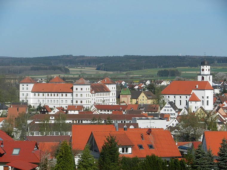
Photo: Zollernalb, CC BY-SA 3.0.
Meßkirch is a town in the district of Sigmaringen in Baden-Württemberg in Germany. The town was the residence of the counts of Zimmern, widely known through Count Froben Christoph's Zimmern Chronicle. Messkirch is situated 6 km north of Gemeindeverwaltung Sauldorf.
Rengetsweiler
Village

Photo: Zollernalb, CC BY-SA 3.0.
Rengetsweiler is a village, which is situated 6 km northeast of Gemeindeverwaltung Sauldorf.
Gemeindeverwaltung Sauldorf
- Categories: building, public building, and government building
- Location: Sauldorf, Sigmaringen, Tübingen Region, Baden-Württemberg, Germany, Central Europe, Europe
- View on OpenStreetMap
Latitude
47.94328° or 47° 56′ 36″ northLongitude
9.10684° or 9° 6′ 25″ eastOpen location code
8FVFW4V4+8POpenStreetMap ID
way 291585718OpenStreetMap feature
amenity=townhallOpenStreetMap feature
building=civicOpenStreetMap attribute
wheelchair=no
This page is based on OpenStreetMap, Wikidata, and Wikimedia Commons.
We’d love your help improving our open data sources. Thank you for contributing.
Satellite Map
Discover Gemeindeverwaltung Sauldorf from above in high-definition satellite imagery.
Notable Places Nearby
Highlights include Sankt Sebastian and Freiwillige Feuerwehr Sauldorf.
Nearby Places
Explore places such as Lebensmittel Vogler and Sauldorf Feuerwehrhaus.
Baden-Württemberg: Must-Visit Destinations
Delve into Stuttgart, Heidelberg, Karlsruhe, and Mannheim.
Curious Town Halls to Discover
Uncover intriguing town halls from every corner of the globe.
About Mapcarta. Data © OpenStreetMap contributors and available under the Open Database License". Text is available under the CC BY-SA 4.0 license, except for photos, directions, and the map. Photo: Traveler100, CC BY-SA 3.0.