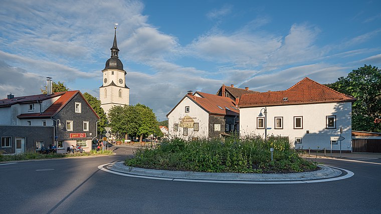
Ferienhaus am Forsthaus
Ferienhaus am Forsthaus is a chalet in Friedrichroda, Gotha, Thuringia which is located on Zur Wacht. Ferienhaus am Forsthaus is situated nearby to the pond Rösenbachteich, as well as near Countryclub - Dark Mountain.| Tap on a place to explore it |
- Email: renate-grosse@gmx.de
- Type: Chalet
- Address: Zur Wacht 2, Finsterbergen, Friedrichroda, 99894
- Roof shape: gabled
Places of Interest Nearby
Highlights include Heimatmuseum and Dreifaltigkeitskirche.
Heimatmuseum
Museum

Photo: Metilsteiner, CC BY 3.0.
Heimatmuseum is situated 1 km east of Ferienhaus am Forsthaus.
Dreifaltigkeitskirche
Church

Photo: CTHOE, CC BY-SA 3.0.
Dreifaltigkeitskirche is a church, which is situated 1 km east of Ferienhaus am Forsthaus.
Kurhaus Felsenstein
Hotel

Photo: Wikimedia, CC BY-SA 4.0.
Kurhaus Felsenstein is a hotel, which is situated 1 km east of Ferienhaus am Forsthaus.
Places in the Area
Nearby places include Finsterbergen and Friedrichroda.
Finsterbergen
Village

Photo: Metilsteiner, CC BY 3.0.
Finsterbergen is a former municipality in the district of Gotha, in Thuringia, Germany. Since 1 December 2007, it is part of the town Friedrichroda.
Friedrichroda
Town
 Friedrichroda is a town in the district of Gotha, Thuringia, Germany. It is situated at the north foot of the Thuringian Forest, 21 km by rail southwest of the town of Gotha. Friedrichroda is situated 2½ km north of Ferienhaus am Forsthaus.
Engelsbach
Village

Photo: Metilsteiner, CC BY 3.0.
Engelsbach is a village, which is situated 3 km northeast of Ferienhaus am Forsthaus.
Ferienhaus am Forsthaus
- Categories: building, tourism, and accommodation
- Location: Friedrichroda, Gotha, Thuringia, Germany, Central Europe, Europe
- View on OpenStreetMap
Latitude
50.83269° or 50° 49′ 58″ northLongitude
10.57343° or 10° 34′ 24″ eastLevels
1Operator
Renate GroßeOpen location code
9F2GRHMF+39OpenStreetMap ID
way 291747820OpenStreetMap feature
building=yesOpenStreetMap feature
tourism=chaletOpenStreetMap attribute
roof-shape=gabled
This page is based on OpenStreetMap, Wikidata, and Wikimedia Commons.
We’d love your help improving our open data sources. Thank you for contributing.
Satellite Map
Discover Ferienhaus am Forsthaus from above in high-definition satellite imagery.
Notable Places Nearby
Highlights include Rösenbachteich and Countryclub - Dark Mountain.
Nearby Places
Explore places such as Waldhof Finsterbergen and Trinkwasserversorgung.
Curious Chalets to Discover
Uncover intriguing chalets from every corner of the globe.
About Mapcarta. Data © OpenStreetMap contributors and available under the Open Database License". Text is available under the CC BY-SA 4.0 license, except for photos, directions, and the map. Photo: Taxiarchos228, FAL.