Riedenforst/Teufelsküche
Riedenforst/Teufelsküche is a forest in Lower Saxony, Germany. Riedenforst/Teufelsküche is situated nearby to the suburb Danndorf, as well as near Vorsfelde-Süd.| Tap on a place to explore it |
Places of Interest
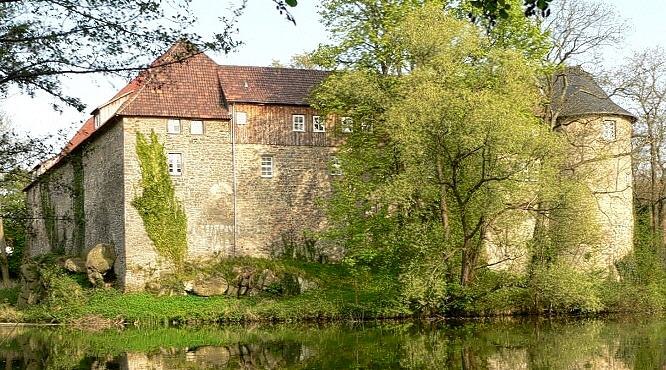
Highlights include Burg Neuhaus and Velpker Schweiz.


Places in the Area
Nearby places include Vorsfelde and Teichbreite.


Riedenforst/Teufelsküche
- Type: Forest
- Location: Lower Saxony, Germany, Central Europe, Europe
- View on OpenStreetMap
Latitude
52.4351° or 52° 26′ 7″ northLongitude
10.8876° or 10° 53′ 15″ eastOpen location code
9F4GCVPQ+32OpenStreetMap ID
way 292151508OpenStreetMap feature
landuse=forest
This page is based on OpenStreetMap, Wikidata, and Wikimedia Commons.
We’d love your help improving our open data sources. Thank you for contributing.
Satellite Map
Discover Riedenforst/Teufelsküche from above in high-definition satellite imagery.
Localities in the Area
Explore places such as Danndorf and Vorsfelde-Süd.
Notable Places Nearby
Highlights include Wolfskuhle and Hundefreunde Wolfsburg.
Lower Saxony: Must-Visit Destinations
Delve into Hanover, Göttingen, Brunswick, and Wolfsburg.
Curious Forests to Discover
Uncover intriguing forests from every corner of the globe.
About Mapcarta. Data © OpenStreetMap contributors and available under the Open Database License". Text is available under the CC BY-SA 4.0 license, except for photos, directions, and the map. Photo: Danapit, CC BY-SA 3.0.