Evangelische Kirche Niedervorschütz
Evangelische Kirche Niedervorschütz is a church in Felsberg, Schwalm-Eder-Kreis, Hesse which is located on Hauptstraße. Evangelische Kirche Niedervorschütz is situated nearby to the community center Dorfgemeinschaftshaus Niedervorschütz, as well as near the fire station Feuerwehr Niedervorschütz.| Tap on a place to explore it |
- Type: Church
- Denomination: Protestant
- Address: Hauptstraße 24, Niedervorschütz, Felsberg, 34587
Places of Interest Nearby
Highlights include Wotanstein and Evangelische Kirche Maden.
Wotanstein
Stone

Photo: Tecty, CC BY-SA 4.0.
The Wotanstein, also known as 'Wodanstein' or earlier on 'Malstein', is a small megalith or menhir situated close to the village of Maden, Schwalm-Eder-Kreis, Hesse, Germany. Wotanstein is situated 1½ km northwest of Evangelische Kirche Niedervorschütz.
Evangelische Kirche Maden
Church

Photo: Jkü, CC BY-SA 3.0.
Evangelische Kirche Maden is a church, which is situated 1½ km north of Evangelische Kirche Niedervorschütz.
Mader Stein
Peak
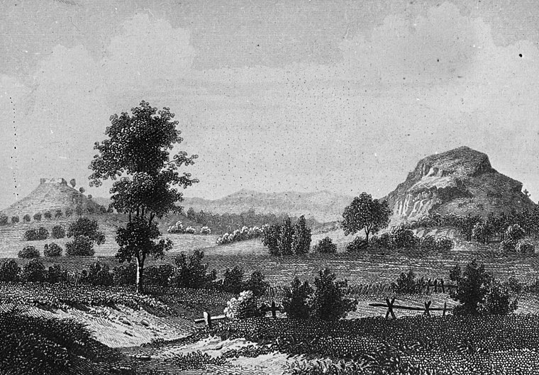
Photo: Wikimedia, CC BY-SA 2.5.
Mader Stein, or Maderstein, is a 265 m high hill in North Hesse, Schwalm-Eder-Kreis, north-east of the village of Maden, which belongs to the town of Gudensberg.
Places in the Area
Nearby places include Brechelsdorf and Kalbsburg.
Brechelsdorf
Locality
Brechelsdorf was a village that was abandoned around the 14th to 15th century AD. There are no visible remains today. It was situated within the perimeter of the village of Altenbrunslar, which part of the town of Felsberg, in the district of Schwalm-Eder-Kreis in North Hesse, Germany. Brechelsdorf is situated 6 km northeast of Evangelische Kirche Niedervorschütz.
Kalbsburg
Neighborhood

Photo: AxelHH, Public domain.
Kalbsburg is a neighborhood, which is situated 10 km southwest of Evangelische Kirche Niedervorschütz.
Evangelische Kirche Niedervorschütz
- Categories: building, place of worship, and religion
- Location: Felsberg, Schwalm-Eder-Kreis, Kassel, Hesse, Germany, Central Europe, Europe
- View on OpenStreetMap
Latitude
51.14988° or 51° 8′ 60″ northLongitude
9.3794° or 9° 22′ 46″ eastInception
1776Open location code
9F3F49XH+XQOpenStreetMap ID
way 295173751OpenStreetMap feature
amenity=place_of_worshipOpenStreetMap feature
building=churchOpenStreetMap attribute
denomination=protestantWikidata ID
Q124604889
This page is based on OpenStreetMap, Wikidata, and Wikimedia Commons.
We’d love your help improving our open data sources. Thank you for contributing.
Satellite Map
Discover Evangelische Kirche Niedervorschütz from above in high-definition satellite imagery.
In Other Languages
“Evangelische Kirche Niedervorschütz” goes by many names.
- German: “Evangelische Kirche (Niedervorschütz)”
Notable Places Nearby
Highlights include Dorfgemeinschaftshaus Niedervorschütz and Feuerwehr Niedervorschütz.
Nearby Places
Explore places such as Riebold Estrichbau and Obervorschützer Straße.
Hesse: Must-Visit Destinations
Delve into Frankfurt, Wiesbaden, Darmstadt, and Kassel.
Curious Churches to Discover
Uncover intriguing churches from every corner of the globe.
About Mapcarta. Data © OpenStreetMap contributors and available under the Open Database License". Text is available under the CC BY-SA 4.0 license, except for photos, directions, and the map. Photo: Jkü, CC BY 4.0.