Landeplatz Hochplatte
Landeplatz Hochplatte is a grassland in Marquartstein, Traunstein, Bavaria. Landeplatz Hochplatte is situated nearby to the athletics track Trethochbahn Schneckenrennen, as well as near the pitch Modellflugplatz Achental.| Tap on a place to explore it |
Places of Interest Nearby
Highlights include Pädagogisches Zentrum Schloss Niedernfels and Hofkapelle.
Pädagogisches Zentrum Schloss Niedernfels
School

Photo: Cafezinho, Public domain.
Pädagogisches Zentrum Schloss Niedernfels is a school, which is situated 690 metres southwest of Landeplatz Hochplatte.
Hofkapelle
Church

Photo: Channi, CC BY-SA 3.0.
Hofkapelle is a church, which is situated 1 km southeast of Landeplatz Hochplatte.
Mariä Himmelfahrt
Church
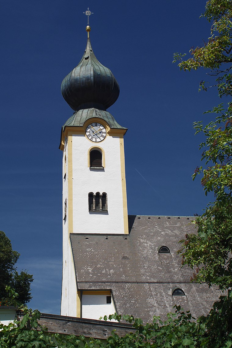
Photo: Thcilnegeg, CC BY-SA 4.0.
Mariä Himmelfahrt is a church, which is situated 1½ km north of Landeplatz Hochplatte.
Places in the Area
Nearby places include Marquartstein and Grassau.
Marquartstein
Village
 Marquartstein is a municipality in the southeastern part of Bavaria, Germany and is part of the Verwaltungsgemeinschaft Marquartstein and Staudach-Egerndach.
Grassau
Village

Photo: Wikimedia, CC BY-SA 3.0.
Grassau is a market town in the district of Traunstein in Bavaria in Germany. It is located south of lake Chiemsee in the valley of the Tiroler Ache.
Raiten
Village

Photo: Rufus46, CC BY-SA 3.0.
Raiten is a village, which is situated 3 km south of Landeplatz Hochplatte.
Landeplatz Hochplatte
- Type: Air sports
- Categories: grassland and sports location
- Location: Marquartstein, Traunstein, Upper Bavaria, Bavaria, Germany, Central Europe, Europe
- View on OpenStreetMap
Latitude
47.76564° or 47° 45′ 56″ northLongitude
12.44624° or 12° 26′ 47″ eastOperator
DFC AchentalOpen location code
8FVJQC8W+7FOpenStreetMap ID
way 295962937OpenStreetMap feature
landuse=grassOpenStreetMap feature
sport=free_flying
This page is based on OpenStreetMap, Wikidata, and Wikimedia Commons.
We’d love your help improving our open data sources. Thank you for contributing.
Satellite Map
Discover Landeplatz Hochplatte from above in high-definition satellite imagery.
Notable Places Nearby
Highlights include Trethochbahn Schneckenrennen and Modellflugplatz Achental.
Nearby Places
Explore places such as Poseidon and Parkplatz Märchenpark.
Upper Bavaria: Must-Visit Destinations
Delve into Munich, Ingolstadt, Dachau, and Rosenheim.
Curious Places to Discover
Uncover intriguing places from every corner of the globe.
About Mapcarta. Data © OpenStreetMap contributors and available under the Open Database License". Text is available under the CC BY-SA 4.0 license, except for photos, directions, and the map. Photo: Aconcagua, CC BY-SA 3.0.