Landgut Weimar e.G.
Landgut Weimar e.G. is a farm in Weimar, Thuringia. Landgut Weimar e.G. is situated nearby to Holzdorf (b Weimar) railway station, as well as near Gutspark Holzdorf.| Tap on a place to explore it |
Places of Interest Nearby
Highlights include Holzdorf (b Weimar) railway station and St. Martin.
Holzdorf (b Weimar) railway station
Railway station

Photo: Blaufisch123, CC BY-SA 4.0.
Holzdorf (b Weimar) railway station is situated 110 metres northeast of Landgut Weimar e.G..
St. Martin
Church
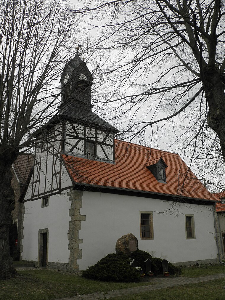
Photo: Wikswat, CC BY-SA 3.0.
St. Martin is a church, which is situated 1½ km south of Landgut Weimar e.G..
Saint Maurice Church
Church

Photo: Wikswat, CC BY-SA 3.0.
Saint Maurice Church is situated 2 km north of Landgut Weimar e.G..
Places in the Area
Nearby places include Legefeld and Obergrunstedt.


Landgut Weimar e.G.
- Type: Farm
- Category: agriculture
- Location: Weimar, Thuringia, Germany, Central Europe, Europe
- View on OpenStreetMap
Latitude
50.94148° or 50° 56′ 29″ northLongitude
11.27509° or 11° 16′ 30″ eastOperator
Landgut Weimar e.G.Open location code
9F2HW7RG+H2OpenStreetMap ID
way 300942794OpenStreetMap feature
landuse=farmyard
This page is based on OpenStreetMap, Wikidata, and Wikimedia Commons.
We’d love your help improving our open data sources. Thank you for contributing.
Satellite Map
Discover Landgut Weimar e.G. from above in high-definition satellite imagery.
Notable Places Nearby
Highlights include Gutspark Holzdorf and Hundeschule Curriculum Canis Weimar.
Nearby Places
Explore places such as Holzdorf (b Weimar) and Holzdorf.
Thuringia: Must-Visit Destinations
Delve into Erfurt, Jena, Gera, and Eisenach.
Curious Farms to Discover
Uncover intriguing farms from every corner of the globe.
About Mapcarta. Data © OpenStreetMap contributors and available under the Open Database License". Text is available under the CC BY-SA 4.0 license, except for photos, directions, and the map. Photo: Taxiarchos228, FAL.