Wieża ciśnień Starosielce
Wieża ciśnień Starosielce is a water tower in Białystok, Podlaskie. Wieża ciśnień Starosielce is situated nearby to the railway station Białystok Starosielce train station, as well as near the government office Instytut Pamięci Narodowej. Oddział w Białymstoku.| Tap on a place to explore it |
Places of Interest Nearby
Highlights include Białystok Starosielce train station and Orthodox church of the Dormition in Białystok-Starosielce.
Białystok Starosielce train station
Railway station

Photo: Maliniak, CC BY-SA 2.5.
Białystok Starosielce train station is a railway station, which is situated 110 metres northeast of Wieża ciśnień Starosielce.
Orthodox church of the Dormition in Białystok-Starosielce
Church

Photo: Loraine, CC BY-SA 3.0.
Orthodox church of the Dormition in Białystok-Starosielce is situated 610 metres west of Wieża ciśnień Starosielce.
Saint Andrew Bobola church in Białystok
Church
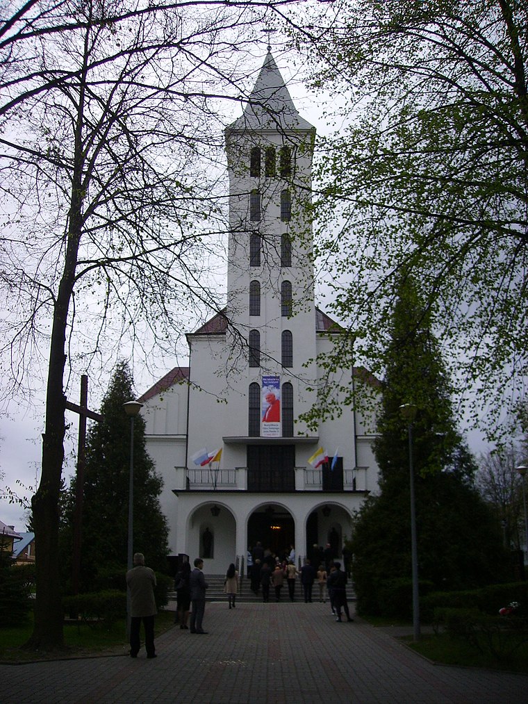
Photo: Henryk Borawski, CC BY 3.0.
Saint Andrew Bobola church in Białystok is situated 780 metres north of Wieża ciśnień Starosielce.
Places in the Area
Nearby places include Osiedle Starosielce and Sikorszczyzna.
Osiedle Starosielce
Suburb
Starosielce is a district of Białystok, Poland, located in the western part of the city.
Sikorszczyzna
Hamlet
Sikorszczyzna is a village in the administrative district of Gmina Choroszcz, within Białystok County, Podlaskie Voivodeship, in north-eastern Poland.
Klepacze
Village

Photo: Athantor, CC BY-SA 3.0.
Klepacze is a village in the administrative district of Gmina Choroszcz, within Białystok County, Podlaskie Voivodeship, in north-eastern Poland. The village is considered part of Metropolitan Białystok in order to help economically develop the region.
Wieża ciśnień Starosielce
- Type: Water tower
- Categories: building and industry
- Location: Białystok, Podlaskie, Poland, Central Europe, Europe
- View on OpenStreetMap
Latitude
53.12067° or 53° 7′ 14″ northLongitude
23.08538° or 23° 5′ 7″ eastOpen location code
9G5543CP+74OpenStreetMap ID
way 301406647OpenStreetMap feature
building=yesOpenStreetMap feature
man_made=water_tower
This page is based on OpenStreetMap, Wikidata, and Wikimedia Commons.
We’d love your help improving our open data sources. Thank you for contributing.
Satellite Map
Discover Wieża ciśnień Starosielce from above in high-definition satellite imagery.
Notable Places Nearby
Highlights include Instytut Pamięci Narodowej. Oddział w Białymstoku and Kościół pw. Najświętszej Maryi Panny z Gwadelupe.
Nearby Places
Explore places such as Muller Kipper and Mel.
Podlaskie: Must-Visit Destinations
Delve into Suwałki, Augustów, Białowieża National Park, and Sejny.
Curious Water Towers to Discover
Uncover intriguing water towers from every corner of the globe.
About Mapcarta. Data © OpenStreetMap contributors and available under the Open Database License". Text is available under the CC BY-SA 4.0 license, except for photos, directions, and the map. Photo: Magkrys, CC BY-SA 3.0.