Pfarrhofbauer
Pfarrhofbauer is a farm in Münzkirchen, Schärding District, Upper Austria. Pfarrhofbauer is situated nearby to the post office Post-Partner 4792 Münzkirchen, as well as near the pitch Sportplatz FC Münzkirchen.| Tap on a place to explore it |
Places of Interest Nearby
Highlights include Pfarrkirche Mariä Himmelfahrt and FF Rainbach.
Pfarrkirche Mariä Himmelfahrt
Church

Photo: Konrad Lackerbeck, CC BY 3.0.
Pfarrkirche Mariä Himmelfahrt is a church, which is situated 1¼ km northeast of Pfarrhofbauer.
FF Rainbach
Fire station
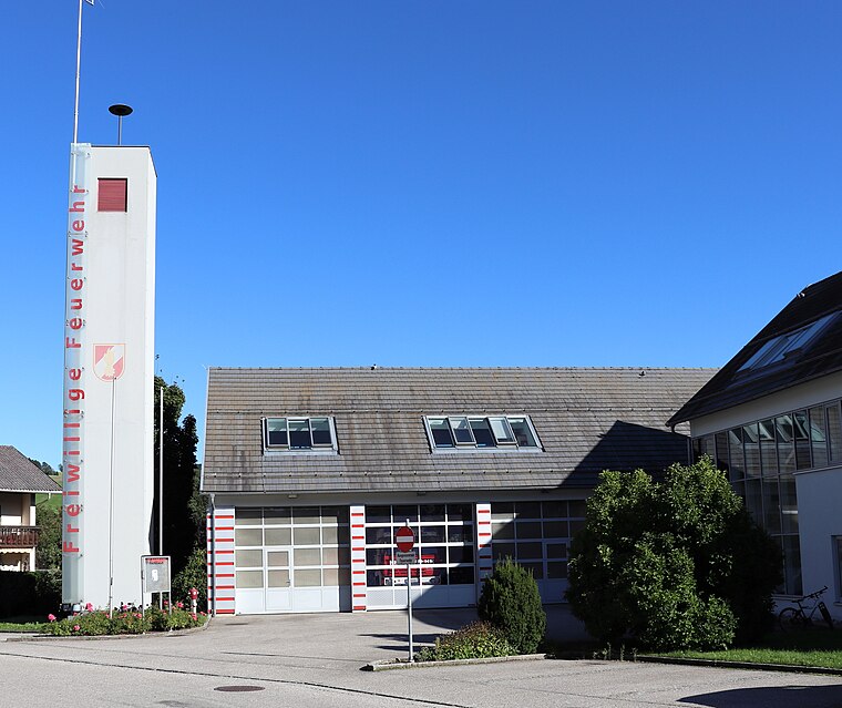
Photo: Samiclaus, CC BY-SA 4.0.
FF Rainbach is a fire station, which is situated 3 km southwest of Pfarrhofbauer.
Places in the Area
Nearby places include Neuburg am Inn and Vornbach.
Neuburg am Inn
Village

Photo: Konrad Lackerbeck, CC BY 3.0.
Neuburg am Inn is a municipality in the district of Passau in Bavaria in Germany. Neuburg lies high above the river Inn, which forms the natural border with Austria. Neuburg am Inn is situated 9 km west of Pfarrhofbauer.
Vornbach
Village

Photo: Aconcagua, CC BY-SA 3.0.
Vornbach is a village, which is situated 9 km west of Pfarrhofbauer.
Sankt Florian am Inn
Village

Photo: Bwag, CC BY-SA 4.0.
Sankt Florian am Inn is a municipality in the district of Schärding in the Austrian state of Upper Austria. Sankt Florian am Inn is situated 9 km southwest of Pfarrhofbauer.
Pfarrhofbauer
- Type: Farm
- Category: agriculture
- Location: Münzkirchen, Schärding District, Upper Austria, Austria, Central Europe, Europe
- View on OpenStreetMap
Latitude
48.47714° or 48° 28′ 38″ northLongitude
13.55757° or 13° 33′ 27″ eastOpen location code
8FWMFHG5+V2OpenStreetMap ID
way 302507899OpenStreetMap feature
landuse=farmyard
This page is based on OpenStreetMap, Wikidata, and Wikimedia Commons.
We’d love your help improving our open data sources. Thank you for contributing.
Satellite Map
Discover Pfarrhofbauer from above in high-definition satellite imagery.
Notable Places Nearby
Highlights include Post-Partner 4792 Münzkirchen and Sportplatz FC Münzkirchen.
Nearby Places
Explore places such as Straßenmeisterei Münzkirchen and Danninger Gartengestaltung.
Upper Austria: Must-Visit Destinations
Delve into Linz, Hallstatt, Wels, and Steyr.
Curious Farms to Discover
Uncover intriguing farms from every corner of the globe.
About Mapcarta. Data © OpenStreetMap contributors and available under the Open Database License". Text is available under the CC BY-SA 4.0 license, except for photos, directions, and the map. Photo: Traveler100, CC BY-SA 3.0.