Ortsverwaltung Huttenheim
Ortsverwaltung Huttenheim is a town hall in Philippsburg, Karlsruhe, Baden-Württemberg which is located on Rheinstraße. Ortsverwaltung Huttenheim is situated nearby to the church St. Peter, as well as near the sports venue Bruhrainhalle.| Tap on a place to explore it |
- Type: Town hall
- Address: Rheinstraße 30, Philippsburg, 76661
- Wheelchair access: yes
Places of Interest Nearby
Highlights include St. Peter and Jewish Cemetery.

Jewish Cemetery
Cemetery

Photo: LigaDue, CC BY-SA 4.0.
Jewish Cemetery is situated 2½ km north of Ortsverwaltung Huttenheim.
Graben-Neudorf Nord station
Railway stop

Photo: Wikimedia, CC BY-SA 3.0.
Graben-Neudorf Nord station is a railway station in the municipality of Graben-Neudorf, located in the Karlsruhe district in Baden-Württemberg, Germany. Graben-Neudorf Nord station is situated 3 km southeast of Ortsverwaltung Huttenheim.
Places in the Area
Nearby places include Graben-Neudorf and Waghäusel.
Graben-Neudorf
Village
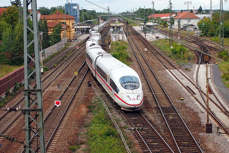
Photo: BlueBreezeWiki, CC BY-SA 3.0.
Graben-Neudorf is a municipality in Northern Karlsruhe district in Baden-Württemberg, Germany. It was created when the two communities of Graben and Neudorf were united on January 1, 1972. Graben-Neudorf is situated 4 km southeast of Ortsverwaltung Huttenheim.
Waghäusel
Town

Photo: Claus Ableiter, CC BY-SA 4.0.
Waghäusel is a town located in the Rhine valley in the south-western state of Baden-Württemberg, Germany. Waghäusel consists of 3 townships which are the core town, Kirrlach, and Wiesental. Waghäusel is situated 7 km northeast of Ortsverwaltung Huttenheim.
Oberhausen
Village

Photo: Immanuel Giel, CC BY-SA 3.0.
Oberhausen is a village, which is situated 7 km north of Ortsverwaltung Huttenheim.
Ortsverwaltung Huttenheim
- Categories: building, public building, and government building
- Location: Philippsburg, Karlsruhe, Karlsruhe Region, Baden-Württemberg, Germany, Central Europe, Europe
- View on OpenStreetMap
Latitude
49.19638° or 49° 11′ 47″ northLongitude
8.46581° or 8° 27′ 57″ eastOpen location code
8FXC5FW8+H8OpenStreetMap ID
way 303633865OpenStreetMap feature
amenity=townhallOpenStreetMap feature
building=publicOpenStreetMap attribute
wheelchair=yes
This page is based on OpenStreetMap, Wikidata, and Wikimedia Commons.
We’d love your help improving our open data sources. Thank you for contributing.
Satellite Map
Discover Ortsverwaltung Huttenheim from above in high-definition satellite imagery.
Notable Places Nearby
Highlights include Katholisches Pfarrzentrum St. Peter and Bruhrainhalle.
Nearby Places
Explore places such as Fahrschule Pfettscher and Huttenheim Kirche.
Baden-Württemberg: Must-Visit Destinations
Delve into Stuttgart, Heidelberg, Karlsruhe, and Mannheim.
Curious Town Halls to Discover
Uncover intriguing town halls from every corner of the globe.
About Mapcarta. Data © OpenStreetMap contributors and available under the Open Database License". Text is available under the CC BY-SA 4.0 license, except for photos, directions, and the map. Photo: Traveler100, CC BY-SA 3.0.