Arizona Department of Transportation
Arizona Department of Transportation is a building in Maricopa County, Arizona. Arizona Department of Transportation is situated nearby to the public building State of Arizona office building, as well as near the government office ADOT MVD Building.| Tap on a place to explore it |
Places of Interest Nearby
Highlights include Arizona State Capitol and Arizona Mining and Mineral Museum.
Arizona State Capitol
Office building
 The Arizona Territorial - Arizona State Capitol in Phoenix, Arizona, United States, was the last home for Arizona's territorial government until Arizona became a state in 1912. Arizona State Capitol is situated 720 feet north of Arizona Department of Transportation.
Arizona Mining and Mineral Museum
Museum

Photo: davidpinter, CC BY 3.0.
The Arizona Mining and Mineral Museum in Phoenix, Arizona, was a museum focused on minerals and mining. Last operated by the Arizona Historical Society, a state government agency, its exhibits included more than 3,000 minerals, rocks, fossils, and artifacts related to the mining industry. Arizona Mining and Mineral Museum is situated 1,600 feet northeast of Arizona Department of Transportation.
Sandra Day O’Connor United States Courthouse
Courthouse
The Sandra Day O'Connor United States Courthouse is a courthouse at 401 West Washington Street in Phoenix, Arizona. Pursuant to Pub. L. 106–166, enacted by the United States Congress, it is named after Sandra Day O'Connor, who served as an Associate Justice of the Supreme Court of the United States from September 21, 1981, to January 31, 2006. Sandra Day O’Connor United States Courthouse is situated 1 mile east of Arizona Department of Transportation.
Places in the Area
Nearby places include Phoenix and Encanto.
Phoenix

Photo: DPPed, CC BY-SA 3.0.
Phoenix is the capital of the state of Arizona, the most populous city in the American Southwest. Warm and sunny winter weather have ensured a thriving tourism industry, and the city has become the region's primary political, cultural, economic, and transportation center.
Encanto
Suburb
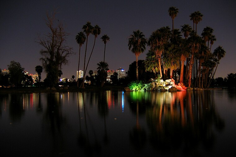
Photo: Jboeke, CC BY-SA 2.0.
Encanto Village is one of the 15 Urban villages that make up the City of Phoenix, in Arizona. The village, centered along Central Avenue, is home to the popular Midtown and Melrose Districts, as well as many historic neighborhoods, including Encanto, its namesake. Encanto is situated 2½ miles northeast of Arizona Department of Transportation.
Central City
Suburb
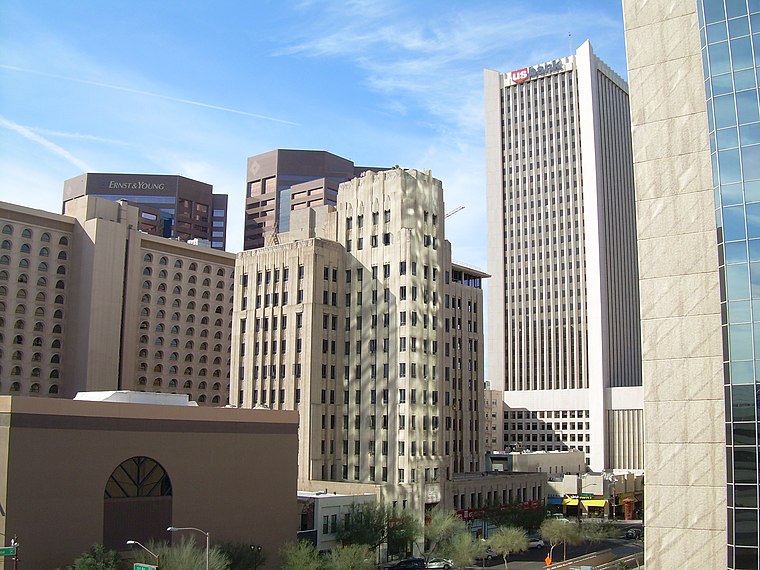
Photo: Jimmybeverage, Public domain.
Central City Village is the urban village of Phoenix, Arizona, that includes the downtown area of the city. As of 2010, it had a population of 58,161 residents. Central City is situated 3 miles east of Arizona Department of Transportation.
Arizona Department of Transportation
- Type: Building
- Location: Maricopa County, Arizona, Southwest, United States, North America
- View on OpenStreetMap
Latitude
33.44625° or 33° 26′ 47″ northLongitude
-112.09649° or 112° 5′ 47″ westOpen location code
8559CWW3+FCOpenStreetMap ID
way 30720312OpenStreetMap feature
building=yes
This page is based on OpenStreetMap, Wikidata, and Wikimedia Commons.
We’d love your help improving our open data sources. Thank you for contributing.
Satellite Map
Discover Arizona Department of Transportation from above in high-definition satellite imagery.
Places with the Same Name
Discover other places named “Arizona Department of Transportation”.
Notable Places Nearby
Highlights include State of Arizona office building and ADOT MVD Building.
Nearby Places
Explore places such as State of Arizona office building and Grid.
Arizona: Must-Visit Destinations
Delve into Phoenix, Tucson, Mesa, and Flagstaff.
Curious Buildings to Discover
Uncover intriguing buildings from every corner of the globe.
About Mapcarta. Data © OpenStreetMap contributors and available under the Open Database License". Text is available under the CC BY-SA 4.0 license, except for photos, directions, and the map. Photo: Tobi 87, CC BY-SA 3.0.