Volanul
Volanul is a building in Arad, Crișana which is located on Strada Șiriei. Volanul is situated nearby to Bella, as well as near the government office Consiliul Local Direcția de Dezvoltare și Asistență Comunitară.| Tap on a place to explore it |
Places of Interest Nearby
Highlights include Fortress of Arad and Arad Central railway station.
Fortress of Arad
Castle
The Fortress of Arad is a fortification system built in the city of Arad in Kingdom of Hungary, on the left bank of the Mureș River in the 18th century at the direct order of the Habsburg Queen Maria Theresa. Fortress of Arad is situated 3 km west of Volanul.
Arad Central railway station
Railway station

Photo: Wikimedia, CC BY-SA 3.0 de.
Arad Central railway station is the largest railway station in the city of Arad, and the largest in the Arad County. It is the second largest railway station in the western region of Romania, immediately after Timișoara Nord railway station. Arad Central railway station is situated 3½ km west of Volanul.
Palace of Culture
Historic building
 Palace of Culture is a historic building, which is situated 3½ km west of Volanul.
Places in the Area
Nearby places include Arad and Funcționarilor.
Arad
Suburb

Photo: Teodor Stoica, CC BY-SA 4.0.
Micălaca is a neighbourhood in the east of Arad, Romania, approximately 5 km from the city center. The Mureș River flows through the neighbourhood. It is the most populated neighbourhood in Arad, with a population of 50.000.
Funcționarilor
Suburb

Photo: Teodor Stoica, CC BY-SA 4.0.
Funcționarilor is a suburb, which is situated 4 km west of Volanul.
Aradul Nou
Suburb
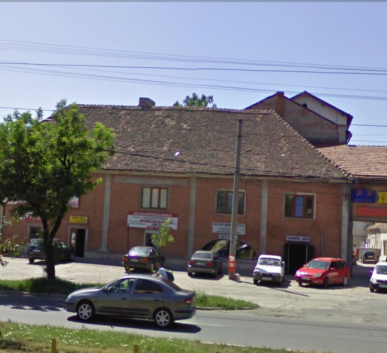
Photo: Teodor Stoica, CC BY-SA 4.0.
Aradul Nou is a suburb, which is situated 4½ km southwest of Volanul.
Volanul
- Type: Building
- Address: Strada Șiriei 19A, Arad, 310318
- Location: Arad, Arad County, Crișana, Romania, Balkans, Europe
- View on OpenStreetMap
Latitude
46.17728° or 46° 10′ 38″ northLongitude
21.36914° or 21° 22′ 9″ eastLevels
2Open location code
8GR359G9+WMOpenStreetMap ID
way 308835274OpenStreetMap feature
building=yes
This page is based on OpenStreetMap, Wikidata, and Wikimedia Commons.
We’d love your help improving our open data sources. Thank you for contributing.
Satellite Map
Discover Volanul from above in high-definition satellite imagery.
Notable Places Nearby
Highlights include Bella and Consiliul Local Direcția de Dezvoltare și Asistență Comunitară.
Nearby Places
Explore places such as Kardesler and Volanul.
Crișana: Must-Visit Destinations
Delve into Oradea, Zalău, Carei, and Ciucea.
Curious Buildings to Discover
Uncover intriguing buildings from every corner of the globe.
About Mapcarta. Data © OpenStreetMap contributors and available under the Open Database License". Text is available under the CC BY-SA 4.0 license, except for photos, directions, and the map. Photo: Steschke, CC BY-SA 3.0 de.