Talstation Stoos (Mettlen/Fronalpstock)
Talstation Stoos (Mettlen/Fronalpstock) is a building in Morschach, Schwyz District, Canton of Schwyz. Talstation Stoos (Mettlen/Fronalpstock) is situated nearby to the church Maria Hilf Kapelle, as well as near the pitch Stoosschwinget.| Tap on a place to explore it |
Places of Interest Nearby
Highlights include Fronalpstock and Klingenstock.
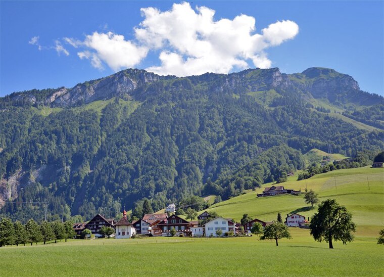
Fronalpstock
Peak

Photo: Hannes Röst, CC BY-SA 3.0.
The Fronalpstock is a mountain in Switzerland, in the Schwyzer Alps and the canton of Schwyz near the south-east corner of the Four Valley Lakes. It has an elevation of 1,921 metres above sea level.
Klingenstock
Peak

Photo: Waldteufel78, CC BY-SA 4.0.
The Klingenstock, also spelled Chlingenstock, is a mountain of the Schwyzer Alps, located between Stoos and Riemenstalden in the canton of Schwyz, Switzerland. Its summit is accessible by chair lift from Stoos. Klingenstock is situated 2½ km south of Talstation Stoos (Mettlen/Fronalpstock).

Places in the Area
Nearby places include Stoos and Oberschönenbuch.
Stoos
Village

Photo: Nix-dorf, CC BY-SA 4.0.
Stoos is a village located in the municipality of Morschach. It is situated at 1,300 m in the Swiss canton of Schwyz and has about 100 inhabitants. It is used as a small ski resort with a cable car leading to the Fronalpstock.
Unterschönenbuch
Hamlet

Photo: Waldteufel78, CC BY-SA 4.0.
Unterschönenbuch is a hamlet, which is situated 3 km northwest of Talstation Stoos (Mettlen/Fronalpstock).
Talstation Stoos (Mettlen/Fronalpstock)
- Type: Canopy
- Category: building
- Location: Morschach, Schwyz District, Canton of Schwyz, Switzerland, Central Europe, Europe
- View on OpenStreetMap
Latitude
46.98066° or 46° 58′ 50″ northLongitude
8.6627° or 8° 39′ 46″ eastOpen location code
8FRCXMJ7+73OpenStreetMap ID
way 310576651OpenStreetMap feature
building=roof
This page is based on OpenStreetMap, Wikidata, and Wikimedia Commons.
We’d love your help improving our open data sources. Thank you for contributing.
Satellite Map
Discover Talstation Stoos (Mettlen/Fronalpstock) from above in high-definition satellite imagery.
Notable Places Nearby
Highlights include Maria Hilf Kapelle and Aussichtspunkt Maria Hilf Kapelle.
Nearby Places
Explore places such as Stoos (Mettlen/Fronalpstock) and Odermatt Sport.
Switzerland: Must-Visit Destinations
Delve into Zurich, Berne, Geneva, and Basel.
Curious Places to Discover
Uncover intriguing places from every corner of the globe.
About Mapcarta. Data © OpenStreetMap contributors and available under the Open Database License". Text is available under the CC BY-SA 4.0 license, except for photos, directions, and the map. Photo: Simonizer, CC BY-SA 2.0 de.