Stade Jean Renaux
Stade Jean Renaux is a pitch in Amiens, Somme, Hauts-de-France. Stade Jean Renaux is situated nearby to the sports venue Gymnase Jean Renaud, as well as near the college Lycée Romain Rolland.| Tap on a place to explore it |
Places of Interest Nearby
Highlights include Église Sainte-Thérèse-de-l’Enfant-Jésus d’Amiens and Citadelle d’Amiens.
Église Sainte-Thérèse-de-l’Enfant-Jésus d’Amiens
Church

Photo: Ybroc, CC BY-SA 4.0.
Église Sainte-Thérèse-de-l’Enfant-Jésus d’Amiens is a church, which is situated 710 metres southeast of Stade Jean Renaux.
Citadelle d’Amiens
Castle
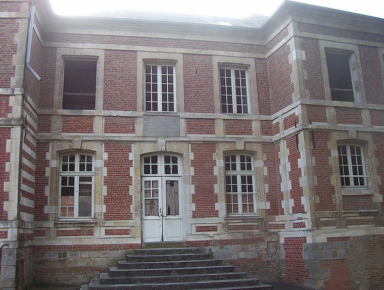
Photo: HaguardDuNord, CC BY 3.0.
Citadelle d’Amiens is a castle, which is situated 1¼ km south of Stade Jean Renaux.
Cimetière de La Madeleine d’Amiens
Cemetery

Photo: Markus3, CC BY-SA 3.0.
Cimetière de La Madeleine d’Amiens is a cemetery, which is situated 1¼ km west of Stade Jean Renaux.
Places in the Area
Nearby places include Dreuil-lès-Amiens and Saveuse.
Dreuil-lès-Amiens
Village

Photo: Markus3, CC BY-SA 3.0.
Dreuil-lès-Amiens is a commune in the Somme department in Hauts-de-France in northern France. Dreuil-lès-Amiens is situated 5 km west of Stade Jean Renaux.
Saveuse
Village

Photo: Markus3, CC BY-SA 2.5.
Saveuse is a commune in the Somme department in Hauts-de-France in northern France. Saveuse is situated 6 km west of Stade Jean Renaux.
Villers-Bocage
Village

Photo: François Ansart, CC BY-SA 4.0.
Villers-Bocage is a commune in the Somme department in Hauts-de-France in northern France. Villers-Bocage is situated 9 km north of Stade Jean Renaux.
Stade Jean Renaux
- Type: Pitch
- Categories: recreation area, football, and sports location
- Location: Amiens, Arrondissement of Amiens, Somme, Hauts-de-France, France, Europe
- View on OpenStreetMap
Latitude
49.91668° or 49° 55′ 0″ northLongitude
2.30074° or 2° 18′ 3″ eastOpen location code
8FX4W882+M7OpenStreetMap ID
way 31101761OpenStreetMap feature
leisure=pitchOpenStreetMap feature
sport=soccer
This page is based on OpenStreetMap, Wikidata, and Wikimedia Commons.
We’d love your help improving our open data sources. Thank you for contributing.
Satellite Map
Discover Stade Jean Renaux from above in high-definition satellite imagery.
Notable Places Nearby
Highlights include Gymnase Jean Renaud and Lycée Romain Rolland.
Nearby Places
Explore places such as Lycée professionnel Romain Rolland and France 3.
Hauts-de-France: Must-Visit Destinations
Delve into Lille, Dunkirk, Calais, and Arras.
Curious Pitches to Discover
Uncover intriguing pitches from every corner of the globe.
About Mapcarta. Data © OpenStreetMap contributors and available under the Open Database License". Text is available under the CC BY-SA 4.0 license, except for photos, directions, and the map. Photo: Jean-Pol GRANDMONT, CC BY-SA 3.0.