Ústav informatiky AVČR
Ústav informatiky AVČR is a government building in Praha 8, Prague 8, Prague, Central Bohemia. Ústav informatiky AVČR is situated nearby to the public building Institute of Information Theory and Automation, as well as near Fyzikální ústav AVČR.| Tap on a place to explore it |
Places of Interest Nearby
Highlights include Okrouhlík and Ládví.

Ládví
Metro station

Photo: Wikimedia, CC BY-SA 3.0.
Ládví is a Prague Metro station on Line C, located in Kobylisy, Prague 8. The station was opened on 26 June 2004 as the northern terminus of the Line C extension from Nádraží Holešovice. Ládví is situated 470 metres north of Ústav informatiky AVČR.
Václav Dolejšek Memorial
Memorial

Photo: JiriMatejicek, CC BY-SA 3.0.
Václav Dolejšek Memorial is situated 200 metres northwest of Ústav informatiky AVČR.
Places in the Area
Nearby places include Kobylisy and Libeň.
Kobylisy
Suburb

Photo: Karelj, Public domain.
Kobylisy is a cadastral district in the north of Prague, located in Prague 8. The eastern part of the district is home to a large panel housing estate with over 10,000 residents.
Libeň
Suburb

Photo: Karelj, Public domain.
Libeň is a cadastral area and district of Prague, Czech Republic. It was incorporated into Prague in 1901.
Ústav informatiky AVČR
- Type: Government building
- Also known as: “ÚI AVČR”
- Categories: building, research, and office
- Location: Praha 8, Prague 8, Prague, Central Bohemia, Czech Republic, Central Europe, Europe
- View on OpenStreetMap
Latitude
50.12252° or 50° 7′ 21″ northLongitude
14.46817° or 14° 28′ 5″ eastLevels
3Open location code
9F2P4FF9+27OpenStreetMap ID
way 31140908OpenStreetMap feature
building=governmentOpenStreetMap feature
office=research
This page is based on OpenStreetMap, Wikidata, and Wikimedia Commons.
We’d love your help improving our open data sources. Thank you for contributing.
Satellite Map
Discover Ústav informatiky AVČR from above in high-definition satellite imagery.
Notable Places Nearby
Highlights include Institute of Information Theory and Automation and Fyzikální ústav AVČR.
Nearby Places
Explore places such as BeautyStories and Jaroslav Heyrovský.
Prague: Must-Visit Destinations
Delve into Václav Havel Airport Prague, Old Town and Josefov, East bank of Vltava, and New Town and Vysehrad.
Curious Government Buildings to Discover
Uncover intriguing government buildings from every corner of the globe.
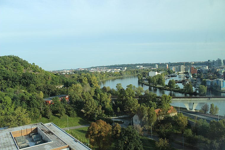
About Mapcarta. Data © OpenStreetMap contributors and available under the Open Database License". Text is available under the CC BY-SA 4.0 license, except for photos, directions, and the map. Photo: Diliff, CC BY-SA 3.0.