Primarschule Untere Au
Primarschule Untere Au is a playground in Heimberg, Thun, Canton of Bern. Primarschule Untere Au is situated nearby to the pitch Beachvolley Oberstufenschule Untere Au, as well as near the church Evangelisch Reformierte Kirche.| Tap on a place to explore it |
Places of Interest Nearby
Highlights include Heimberg railway station and Uttigen railway station.
Heimberg railway station
Railway station
 Heimberg railway station is a railway station in the municipality of Heimberg, in the Swiss canton of Bern. It is located on the standard gauge Burgdorf–Thun line of BLS AG. Heimberg railway station is situated 480 metres northeast of Primarschule Untere Au.
Uttigen railway station
Railway station

Photo: Chrisaliv, CC BY-SA 4.0.
Uttigen railway station is a railway station in the municipality of Uttigen, in the Swiss canton of Bern. It is an intermediate stop on the standard gauge Bern–Thun line of Swiss Federal Railways. Uttigen railway station is situated 1½ km northwest of Primarschule Untere Au.
Uetendorf Allmend railway station
Railway station
 Uetendorf Allmend railway station is a railway station in the municipality of Uetendorf, in the Swiss canton of Bern. It is an intermediate stop on the standard gauge Gürbetal line of BLS AG. Uetendorf Allmend railway station is situated 2 km south of Primarschule Untere Au.
Places in the Area
Nearby places include Uttigen and Uetendorf.
Uttigen
Village

Photo: Wikimedia, CC BY 2.0 de.
Uttigen is a municipality in the administrative district of Thun in the canton of Bern in Switzerland. On 1 January 2014 the former municipality of Kienersrüti merged into the municipality of Uttigen.
Uetendorf
Village
Uetendorf is a municipality in the administrative district of Thun in the canton of Bern in Switzerland. Uetendorf is close to the city of Thun, and connected to traffic through the A6 motorway and the BLS AG's Thun-Belp-Bern railway line. Uetendorf is situated 3 km southwest of Primarschule Untere Au.
Steffisburg
Town
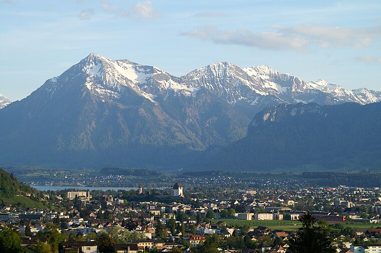
Photo: Clark park, Public domain.
Steffisburg is a municipality in the administrative district of Thun in the canton of Bern in Switzerland. On 1 January 2020 the former municipality of Schwendibach merged into the municipality of Steffisburg. Steffisburg is situated 3 km southeast of Primarschule Untere Au.
Primarschule Untere Au
- Type: Playground
- Category: recreation area
- Location: Heimberg, Thun, Canton of Bern, Switzerland, Central Europe, Europe
- View on OpenStreetMap
Latitude
46.78843° or 46° 47′ 18″ northLongitude
7.60092° or 7° 36′ 3″ eastOpen location code
8FR9QJQ2+99OpenStreetMap ID
way 312858059OpenStreetMap feature
leisure=playground
This page is based on OpenStreetMap, Wikidata, and Wikimedia Commons.
We’d love your help improving our open data sources. Thank you for contributing.
Satellite Map
Discover Primarschule Untere Au from above in high-definition satellite imagery.
Notable Places Nearby
Highlights include Untere Au and Beachvolley Oberstufenschule Untere Au.
Nearby Places
Explore places such as Sekundarschule and AlterSingsaal Untere Au.
Switzerland: Must-Visit Destinations
Delve into Zurich, Berne, Geneva, and Basel.
Curious Playgrounds to Discover
Uncover intriguing playgrounds from every corner of the globe.
About Mapcarta. Data © OpenStreetMap contributors and available under the Open Database License". Text is available under the CC BY-SA 4.0 license, except for photos, directions, and the map. Photo: Simonizer, CC BY-SA 2.0 de.