Wertstoffhof Kolbermoor
Wertstoffhof Kolbermoor is in Kolbermoor, Rosenheim, Bavaria. Wertstoffhof Kolbermoor is situated nearby to Anton-Elsperger-Platz, as well as near the public building Pfarramt Kreuzkirche.| Tap on a place to explore it |
Places of Interest Nearby
Highlights include Heimat- und Industriemuseum and Stolperstein dedicated to Mathias Stich.
Heimat- und Industriemuseum
Museum
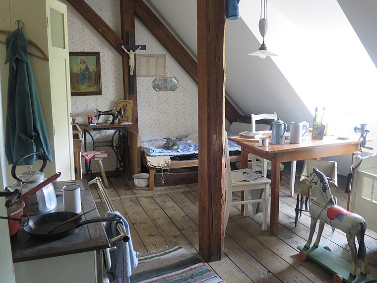
Photo: Edelmauswaldgeist, CC0.
Heimat- und Industriemuseum is situated 1 km northwest of Wertstoffhof Kolbermoor.
Stolperstein dedicated to Mathias Stich
Memorial

Photo: BariumFiasko, CC BY-SA 4.0.
Stolperstein dedicated to Mathias Stich is a memorial, which is situated 390 metres southwest of Wertstoffhof Kolbermoor.
Kolbermoor station
Railway station
 Kolbermoor station is a railway station, which is situated 1 km northwest of Wertstoffhof Kolbermoor.
Places in the Area
Nearby places include Kolbermoor and Pang.
Kolbermoor
Town

Photo: Rufus46, CC BY-SA 3.0.
Kolbermoor is a town in the district of Rosenheim, in Bavaria, Germany. It is situated 5 km west of Rosenheim on the river Mangfall. In 1859 Kolbermoor railway stop was built for the new Bavarian Maximilian's Railway.
Pang
Village

Photo: Rufus46, CC BY-SA 3.0.
Pang is a village, which is situated 3 km southeast of Wertstoffhof Kolbermoor.
Aising
Suburb

Photo: Rufus46, CC BY-SA 3.0.
Aising is a suburb, which is situated 3½ km southeast of Wertstoffhof Kolbermoor.
Wertstoffhof Kolbermoor
- Type: Commerce
- Location: Kolbermoor, Rosenheim, Upper Bavaria, Bavaria, Germany, Central Europe, Europe
- View on OpenStreetMap
Latitude
47.84464° or 47° 50′ 41″ northLongitude
12.07175° or 12° 4′ 18″ eastOpen location code
8FVJR3VC+VPOpenStreetMap ID
way 313093965OpenStreetMap feature
amenity=recyclingOpenStreetMap feature
landuse=commercial
This page is based on OpenStreetMap, Wikidata, and Wikimedia Commons.
We’d love your help improving our open data sources. Thank you for contributing.
Satellite Map
Discover Wertstoffhof Kolbermoor from above in high-definition satellite imagery.
Notable Places Nearby
Highlights include Anton-Elsperger-Platz and Pfarramt Kreuzkirche.
Nearby Places
Explore places such as Bauhof and Kfz Zeiner.
Upper Bavaria: Must-Visit Destinations
Delve into Munich, Ingolstadt, Dachau, and Rosenheim.
Curious Places to Discover
Uncover intriguing places from every corner of the globe.
About Mapcarta. Data © OpenStreetMap contributors and available under the Open Database License". Text is available under the CC BY-SA 4.0 license, except for photos, directions, and the map. Photo: Aconcagua, CC BY-SA 3.0.