Kleingartenverein Südhang Ottendorf
Kleingartenverein Südhang Ottendorf is an allotment garden in Lichtenau, Mittelsachsen, Saxony. Kleingartenverein Südhang Ottendorf is situated nearby to the fire station Freiwillige Feuerwehr Krumbach, as well as near the church Kirche Ottendorf.| Tap on a place to explore it |
Places of Interest Nearby
Highlights include Kgl.-sächs. Postmeilenstein in Ottendorf and Castle Neusorge.
Kgl.-sächs. Postmeilenstein in Ottendorf
Historic site

Photo: Radler59, CC BY-SA 4.0.
Kgl.-sächs. Postmeilenstein in Ottendorf is a historic site, which is situated 1 km south of Kleingartenverein Südhang Ottendorf.
Castle Neusorge
Castle

Photo: Gutachter-Wagner, CC BY 3.0.
Castle Neusorge is situated 1½ km north of Kleingartenverein Südhang Ottendorf.
Sachsenburg concentration camp
Museum
 Sachsenburg was a Nazi concentration camp in eastern Germany, located in Frankenberg, Saxony, near Chemnitz. Along with Lichtenburg, it was among the first to be built by the Nazis, and operated by the SS from 1933 to 1937. Sachsenburg concentration camp is situated 3 km east of Kleingartenverein Südhang Ottendorf.
Places in the Area
Nearby places include Biensdorf and Schönborn-Dreiwerden.

Schönborn-Dreiwerden
Village

Photo: Brück & Sohn Kunstverlag Meißen, CC0.
Schönborn-Dreiwerden is a village, which is situated 3 km northeast of Kleingartenverein Südhang Ottendorf.
Altmittweida
Village
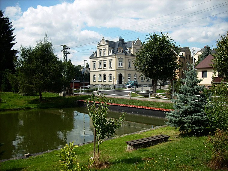
Photo: Jwaller, CC BY-SA 3.0.
Altmittweida is a municipality in the district of Mittelsachsen, in Saxony, Germany. Altmittweida is situated 4 km northwest of Kleingartenverein Südhang Ottendorf.
Kleingartenverein Südhang Ottendorf
- Type: Allotment garden
- Location: Lichtenau, Mittelsachsen, Saxony, Germany, Central Europe, Europe
- View on OpenStreetMap
Latitude
50.93819° or 50° 56′ 18″ northLongitude
12.98288° or 12° 58′ 58″ eastOpen location code
9F2JWXQM+75OpenStreetMap ID
way 313539257OpenStreetMap feature
landuse=allotments
This page is based on OpenStreetMap, Wikidata, and Wikimedia Commons.
We’d love your help improving our open data sources. Thank you for contributing.
Satellite Map
Discover Kleingartenverein Südhang Ottendorf from above in high-definition satellite imagery.
Notable Places Nearby
Highlights include Freiwillige Feuerwehr Krumbach and Kirche Ottendorf.
Nearby Places
Explore places such as Mycel by Hanna Lehmann and MiO Minicamping.
Saxony: Must-Visit Destinations
Delve into Dresden, Leipzig, Chemnitz, and Meißen.
Curious Allotment Gardens to Discover
Uncover intriguing allotment gardens from every corner of the globe.
About Mapcarta. Data © OpenStreetMap contributors and available under the Open Database License". Text is available under the CC BY-SA 4.0 license, except for photos, directions, and the map. Photo: Taxiarchos228, FAL.