Berufliche Schule Uferstraße W2
Berufliche Schule Uferstraße W2 is a school in Hamburg, Hamburg which is located on Uferstraße. Berufliche Schule Uferstraße W2 is situated nearby to the sports venue Sporthalle W2/G6, as well as near the school Staatliche Fachschule für Sozialpädagogik - Fröbelseminar.| Tap on a place to explore it |
- Type: School
- Address: Uferstraße 9 - 10, Hamburg
- Wheelchair access: limited
Places of Interest Nearby
Highlights include Theater an der Marschnerstraße and Shopping-Center Hamburger Meile.
Theater an der Marschnerstraße
Theater building

Photo: Staro1, CC BY-SA 3.0.
Theater an der Marschnerstraße is a theatre in Hamburg, Germany. Theater an der Marschnerstraße is situated 330 metres northeast of Berufliche Schule Uferstraße W2.
Shopping-Center Hamburger Meile
Shopping center
 Shopping-Center Hamburger Meile is situated 520 metres northwest of Berufliche Schule Uferstraße W2.
Hochschule für bildende Künste Hamburg
University

Photo: Staro1, CC BY-SA 3.0.
The Hochschule für bildende Künste Hamburg, also known as HFBK Hamburg, is an arts university in Hamburg, in northern Germany. It dates to 1767, when it was called the Hamburger Gewerbeschule; later it became known as Landeskunstschule Hamburg. Hochschule für bildende Künste Hamburg is situated 580 metres southwest of Berufliche Schule Uferstraße W2.
Places in the Area
Nearby places include Eilbek and Barmbek-Süd.
Eilbek
Suburb

Photo: Staro1, CC BY-SA 3.0.
Eilbek is a quarter of the German city of Hamburg and part of the Wandsbek borough. It originated as a small village on the outskirts of Hamburg and was eventually incorporated when the city expanded. In 2020 the population was 22,235.
Barmbek-Süd
Suburb
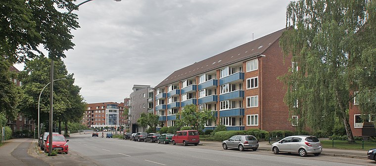
Photo: flamenc, CC BY-SA 3.0.
Barmbek-Süd is a quarter of Hamburg, Germany, in the borough of Hamburg-Nord. It is located in the east of Hamburg-Nord, approximately five kilometers from Hamburg city center.
Hohenfelde
Suburb

Photo: UweRohwedder, CC BY-SA 3.0.
Hohenfelde is a quarter of Hamburg, Germany in the Hamburg-Nord borough.
Berufliche Schule Uferstraße W2
- Category: education
- Location: Hamburg, Hamburg, Freie und Hansestadt, Hamburg, Germany, Central Europe, Europe
- View on OpenStreetMap
Latitude
53.57097° or 53° 34′ 16″ northLongitude
10.0381° or 10° 2′ 17″ eastOpen location code
9F5GH2CQ+96OpenStreetMap ID
way 31401105OpenStreetMap feature
amenity=schoolOpenStreetMap attribute
wheelchair=limited
This page is based on OpenStreetMap, Wikidata, and Wikimedia Commons.
We’d love your help improving our open data sources. Thank you for contributing.
Satellite Map
Discover Berufliche Schule Uferstraße W2 from above in high-definition satellite imagery.
Notable Places Nearby
Highlights include Berufliche Schule Uferstraße and Sporthalle W2/G6.
Nearby Places
Explore places such as Dr. Hugo Meier-Thur and Sporthalle Uferstraße.
Hamburg: Must-Visit Destinations
Delve into Altona-St. Pauli, Neustadt-Altstadt, East Hamburg, and North Hamburg.
Curious Places to Discover
Uncover intriguing places from every corner of the globe.
About Mapcarta. Data © OpenStreetMap contributors and available under the Open Database License". Text is available under the CC BY-SA 4.0 license, except for photos, directions, and the map. Photo: Joerg Moellenkamp, CC BY 2.0.