Parkoviště pro autobusy
Parkoviště pro autobusy is a parking area in Příbor, Nový Jičín District, Moravian-Silesian Region. Access is restricted and requires permission. Parkoviště pro autobusy is situated nearby to the athletics track Běžecká dráha, as well as near the post office Příbor.| Tap on a place to explore it |
- Access is restricted and requires permission.
- Type: Parking area
- Parking: surface
Places of Interest Nearby
Highlights include Birth house of Sigmund Freud and Statue of John of Nepomuk.
Birth house of Sigmund Freud
Museum

Photo: MOs810, CC BY-SA 3.0.
Birth house of Sigmund Freud is a museum, which is situated 120 metres southeast of Parkoviště pro autobusy.
Statue of John of Nepomuk
Memorial

Photo: Kankovaa, CC BY-SA 4.0.
Statue of John of Nepomuk is a memorial, which is situated 170 metres southeast of Parkoviště pro autobusy.
Příbor
Railway station

Photo: MOs810, CC BY-SA 3.0.
Příbor is a railway station, which is situated 440 metres south of Parkoviště pro autobusy.
Places in the Area
Nearby places include Příbor and Prchalov.
Příbor
Town
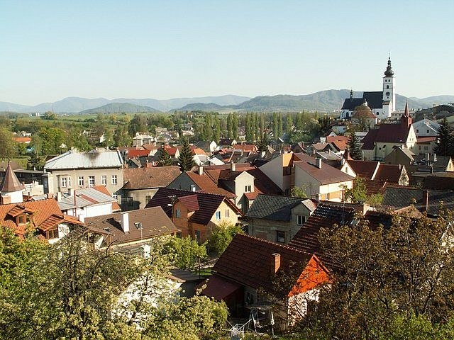
Photo: Jurinek, CC BY-SA 2.5.
Příbor is a town in Nový Jičín District in the Moravian-Silesian Region of the Czech Republic. It has about 8,300 inhabitants. The historic centre of Příbor is well preserved and is protected as an urban monument reservation.

Skotnice
Village

Photo: Janettka, CC BY-SA 3.0.
Skotnice is a municipality and village in Nový Jičín District in the Moravian-Silesian Region of the Czech Republic. It has about 900 inhabitants.
Parkoviště pro autobusy
- Category: transportation
- Location: Příbor, Nový Jičín District, Moravian-Silesian Region, Czech Republic, Central Europe, Europe
- View on OpenStreetMap
Latitude
49.63981° or 49° 38′ 23″ northLongitude
18.14101° or 18° 8′ 28″ eastOpen location code
8FXWJ4QR+WCOpenStreetMap ID
way 315942034OpenStreetMap feature
amenity=parkingOpenStreetMap attribute
parking=surface
This page is based on OpenStreetMap, Wikidata, and Wikimedia Commons.
We’d love your help improving our open data sources. Thank you for contributing.
Satellite Map
Discover Parkoviště pro autobusy from above in high-definition satellite imagery.
Places with the Same Name
Discover other places named “Parkoviště pro autobusy”.
Notable Places Nearby
Highlights include Příbor and Běžecká dráha.
Nearby Places
Explore places such as Za potravinami and Coop.
Czech Republic: Must-Visit Destinations
Delve into Prague, Brno, Pilsen, and Ostrava.
Curious Parking Areas to Discover
Uncover intriguing parking areas from every corner of the globe.
About Mapcarta. Data © OpenStreetMap contributors and available under the Open Database License". Text is available under the CC BY-SA 4.0 license, except for photos, directions, and the map. Photo: john mcsporran, CC BY 2.0.