Gáztelep
Gáztelep is in Pest County, Central Hungary. Gáztelep is situated nearby to Fekete lonc, as well as near the grassland Driving range.| Tap on a place to explore it |
Places of Interest Nearby
Highlights include Memento Park and Tétényi Plateau.
Memento Park
Park

Photo: Ferran Cornellà, CC BY-SA 3.0.
Memento Park is an open-air museum in Budapest, Hungary, dedicated to monumental statues and sculpted plaques from Hungary's Communist period. There are statues of Lenin, Marx, and Engels, as well as several Hungarian Communist leaders. Memento Park is situated 1¼ km northeast of Gáztelep.
Tétényi Plateau
Nature reserve
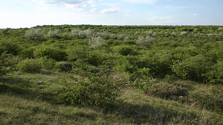
Photo: Pear Blossom, CC BY-SA 3.0.
Tétényi Plateau is a nature reserve.
Republic of Councils Monument
Work of art

Photo: Yelkrokoyade, CC BY-SA 3.0.
Republic of Councils Monument is a work of art, which is situated 1¼ km northeast of Gáztelep.
Places in the Area
Nearby places include South Buda and Budaörs.
South Buda
South Buda is in Budapest. A big area on southern Buda, on the right side of Danube.Budaörs

Photo: Grin, CC BY-SA 3.0.
Budaörs is a town in Pest County, west of District 11, Budapest metropolitan area, and has about 28,400 inhabitants. The town lies among the Buda Hills and the Tétény Plateau in the Budaörs Basin. The town is split by M1, M7 motorways.
Törökbálint

Photo: Globetrotter19, CC BY-SA 3.0.
Törökbálint is a town in Pest County, 15 km westwards from Budapest. Neighboring town Diósd is also described here.
Gáztelep
- Type: Industry
- Location: Pest County, Central Hungary, Hungary, Central Europe, Europe
- View on OpenStreetMap
Latitude
47.42004° or 47° 25′ 12″ northLongitude
18.98365° or 18° 59′ 1″ eastOpen location code
8FVWCXCM+2FOpenStreetMap ID
way 316692314OpenStreetMap feature
landuse=industrialOpenStreetMap feature
man_made=gasometer
This page is based on OpenStreetMap, Wikidata, and Wikimedia Commons.
We’d love your help improving our open data sources. Thank you for contributing.
Satellite Map
Discover Gáztelep from above in high-definition satellite imagery.
Places with the Same Name
Discover other places named “Gáztelep”.
Notable Places Nearby
Highlights include Fekete lonc and Driving range.
Nearby Places
Explore places such as Balatoni út / Dózsa György út and 7. Régi levendulás.
Pest County: Must-Visit Destinations
Delve into Érd, Cegléd, Gödöllő, and Budaörs.
Curious Places to Discover
Uncover intriguing places from every corner of the globe.
About Mapcarta. Data © OpenStreetMap contributors and available under the Open Database License". Text is available under the CC BY-SA 4.0 license, except for photos, directions, and the map. Photo: ucsendre, CC BY-SA 3.0.