Radstation Horrem
Radstation Horrem is a bike shop in Kerpen, Rhein-Erft-Kreis, North Rhine-Westphalia. Radstation Horrem is situated nearby to the tourism office go.Center, as well as near the railway station Horrem station.| Tap on a place to explore it |
- Opening hours:
Monday and Wednesday: 6:00 AM—noon
Tuesday and Thursday—Friday: noon—6:00 PM - Type: Bike shop
- Wheelchair access: yes
Places of Interest Nearby
Highlights include Horrem station and Adolf Kolping Vocational College Kerpen-Horrem.
Horrem station
Railway station

Photo: Tohma, CC BY-SA 4.0.
Horrem station is a station in the Kerpen district of Horrem in the German state of North Rhine-Westphalia. It is a railway junction of the Cologne–Aachen high-speed railway and the Erft Railway.
Adolf Kolping Vocational College Kerpen-Horrem
School

Photo: AKBK Horrem, CC BY-SA 4.0.
Adolf Kolping Vocational College Kerpen-Horrem is a school, which is situated 360 metres south of Radstation Horrem.
Burg Hemmersbach
Castle

Photo: A.Savin, CC BY-SA 3.0.
Burg Hemmersbach is a castle, which is situated 780 metres west of Radstation Horrem.
Places in the Area
Nearby places include Horrem and Neu-Bottenbroich.


Sindorf
Town
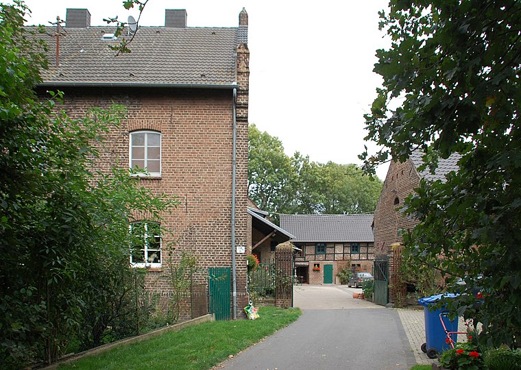
Photo: Achim Raschka, CC BY-SA 4.0.
Sindorf is a town, which is situated 3 km west of Radstation Horrem.
Radstation Horrem
- Categories: building, shop, and bike rental
- Location: Kerpen, Rhein-Erft-Kreis, Cologne District, North Rhine-Westphalia, Germany, Central Europe, Europe
- View on OpenStreetMap
Latitude
50.91628° or 50° 54′ 59″ northLongitude
6.71466° or 6° 42′ 53″ eastOpen location code
9F28WP87+GVOpenStreetMap ID
way 318119027OpenStreetMap feature
amenity=bicycle_rentalOpenStreetMap feature
building=yesOpenStreetMap feature
shop=bicycleOpenStreetMap attribute
wheelchair=yes
This page is based on OpenStreetMap, Wikidata, and Wikimedia Commons.
We’d love your help improving our open data sources. Thank you for contributing.
Satellite Map
Discover Radstation Horrem from above in high-definition satellite imagery.
Notable Places Nearby
Highlights include Horrem and go.Center.
Nearby Places
Explore places such as Candy-Shop and Schmerzheilpraxis Carina Kohrs.
North Rhine-Westphalia: Must-Visit Destinations
Delve into Cologne, Düsseldorf, Bonn, and Dortmund.
Curious Bike Shops to Discover
Uncover intriguing bike shops from every corner of the globe.
About Mapcarta. Data © OpenStreetMap contributors and available under the Open Database License". Text is available under the CC BY-SA 4.0 license, except for photos, directions, and the map. Photo: Daniel Schwen, CC BY-SA 2.5.