Ehemalige Deponie Weimar-Umpferstedt
Ehemalige Deponie Weimar-Umpferstedt is a landfill in Umpferstedt, Weimarer Land, Thuringia. Ehemalige Deponie Weimar-Umpferstedt is situated nearby to the peak Sonnen-Berg, as well as near the church Kirche Zu den 14 Heiligen (Süßenborn).| Tap on a place to explore it |
Places of Interest Nearby
Highlights include Kirche Zu den 14 Heiligen (Süßenborn) and Church Umpferstedt.
Kirche Zu den 14 Heiligen (Süßenborn)
Church

Photo: Wikswat, CC BY-SA 3.0.
Kirche Zu den 14 Heiligen (Süßenborn) is a church, which is situated 480 metres southwest of Ehemalige Deponie Weimar-Umpferstedt.
Church Umpferstedt
Church
 Church Umpferstedt is situated 1¼ km southeast of Ehemalige Deponie Weimar-Umpferstedt.
Burg Denstedt
Castle

Photo: BrThomas, CC BY-SA 3.0 de.
Burg Denstedt is a castle, which is situated 2 km northwest of Ehemalige Deponie Weimar-Umpferstedt.
Places in the Area
Nearby places include Denstedt and Kromsdorf Süd.


Kromsdorf
Village
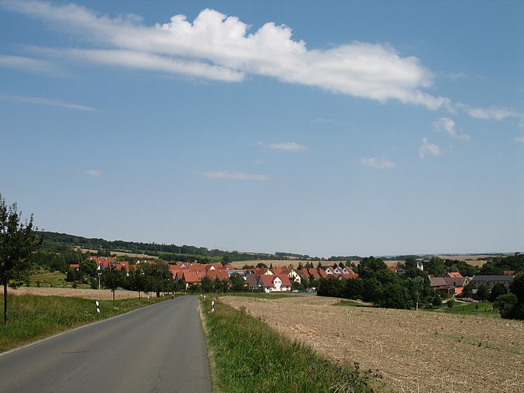
Photo: Aschroet, CC BY-SA 3.0.
Kromsdorf is a village and a former municipality in the district of Weimarer Land in Thuringia, Germany. Since 1 January 2019, it is part of the municipality Ilmtal-Weinstraße. Kromsdorf is situated 2½ km northwest of Ehemalige Deponie Weimar-Umpferstedt.
Ehemalige Deponie Weimar-Umpferstedt
- Type: Landfill
- Location: Umpferstedt, Weimarer Land, Thuringia, Germany, Central Europe, Europe
- View on OpenStreetMap
Latitude
50.98699° or 50° 59′ 13″ northLongitude
11.39855° or 11° 23′ 55″ eastOpen location code
9F2HX9PX+QCOpenStreetMap ID
way 318293422OpenStreetMap feature
landuse=landfill
This page is based on OpenStreetMap, Wikidata, and Wikimedia Commons.
We’d love your help improving our open data sources. Thank you for contributing.
Satellite Map
Discover Ehemalige Deponie Weimar-Umpferstedt from above in high-definition satellite imagery.
Notable Places Nearby
Highlights include Sonnen-Berg and Friedhof Süßenborn.
Nearby Places
Explore places such as Brunnenstube and Süßenborn, Dorfplatz.
Curious Landfills to Discover
Uncover intriguing landfills from every corner of the globe.
About Mapcarta. Data © OpenStreetMap contributors and available under the Open Database License". Text is available under the CC BY-SA 4.0 license, except for photos, directions, and the map. Photo: Taxiarchos228, FAL.