Zone Industrielle de Croupillac
Zone Industrielle de Croupillac is in Alès, Gard, Occitanie. Zone Industrielle de Croupillac is situated nearby to the fire station Centre de secours principal d’Alès, as well as near the community center Mas Sanier.| Tap on a place to explore it |
Places of Interest Nearby
Highlights include Alès station and Arènes du Tempéras.
Alès station
Railway station

Photo: Vpe, Public domain.
Alès station is a railway station serving the town Alès, Gard department, southern France. It lies on the "Ligne des Cévennes" railway line from Clermont-Ferrand to Nîmes. The station is served by regional trains to Clermont-Ferrand, Mende and Nîmes. Alès station is situated 2 km southwest of Zone Industrielle de Croupillac.
Arènes du Tempéras
Stadium

Photo: Matpib, CC BY-SA 3.0.
Arènes du Tempéras is a stadium, which is situated 2 km southwest of Zone Industrielle de Croupillac.
Alès Cathedral
Church

Photo: Vpe, Public domain.
Alès Cathedral is a Roman Catholic church dedicated to Saint John the Baptist and located in the town of Alès in the department of Gard, France. It has been a monument historique since 9 May 1914. Alès Cathedral is situated 2½ km southwest of Zone Industrielle de Croupillac.
Places in the Area
Nearby places include Saint-Martin-de-Valgalgues and Saint-Julien-les-Rosiers.
Saint-Martin-de-Valgalgues
Village
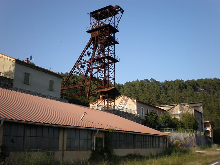
Photo: Vpe, Public domain.
Saint-Martin-de-Valgalgues is a commune in the Gard department in southern France. Saint-Martin-de-Valgalgues is situated 3½ km northwest of Zone Industrielle de Croupillac.
Saint-Julien-les-Rosiers
Village

Photo: Théo simon tpe, CC BY-SA 3.0.
Saint-Julien-les-Rosiers is a commune in the Gard department in southern France. Saint-Julien-les-Rosiers is situated 4 km north of Zone Industrielle de Croupillac.
Cendras
Village

Photo: Havang(nl), CC0.
Cendras is a commune in the Gard department in southern France. Cendras is situated 4½ km northwest of Zone Industrielle de Croupillac.
Zone Industrielle de Croupillac
- Type: Industry
- Location: Alès, Arrondissement of Alès, Gard, Occitanie, France, Europe
- View on OpenStreetMap
Latitude
44.13589° or 44° 8′ 9″ northLongitude
4.10415° or 4° 6′ 15″ eastOpen location code
8FP644P3+9MOpenStreetMap ID
way 319574180OpenStreetMap feature
landuse=industrial
This page is based on OpenStreetMap, Wikidata, and Wikimedia Commons.
We’d love your help improving our open data sources. Thank you for contributing.
Satellite Map
Discover Zone Industrielle de Croupillac from above in high-definition satellite imagery.
Notable Places Nearby
Highlights include Centre de secours principal d’Alès and Mas Sanier.
Nearby Places
Explore places such as CSP ALES and Sibel Pour Toi.
Gard: Must-Visit Destinations
Delve into Nîmes, Aigues-Mortes, and Remoulins.
Curious Places to Discover
Uncover intriguing places from every corner of the globe.
About Mapcarta. Data © OpenStreetMap contributors and available under the Open Database License". Text is available under the CC BY-SA 4.0 license, except for photos, directions, and the map. Photo: Inkey, CC BY 2.5.