Ulrich Bau
Ulrich Bau is an industrial building in Fulda, Kassel, Hesse which is located on Richard-Müller-Straße. Ulrich Bau is situated nearby to the government office Bundesamt für Soziale Sicherung, as well as near the pitch Basketball.| Tap on a place to explore it |
Places of Interest Nearby
Highlights include Fulda Railway Station and St. Paulus.
Fulda Railway Station
Railway station
 Fulda station is an important transport hub of the German railway network in the east Hessian city of Fulda. It is used by about 20,000 travellers each day. Fulda Railway Station is situated 1½ km south of Ulrich Bau.
St. Paulus
Church

Photo: Subbass1, CC BY-SA 4.0.
St. Paulus is a church, which is situated 1 km southeast of Ulrich Bau.
Herz-Jesu hospital
Hospital
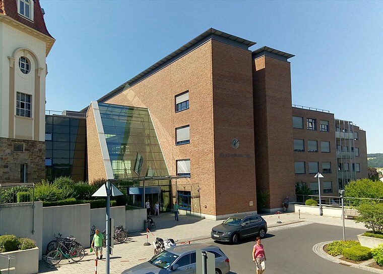
Photo: Tkarcher, CC BY-SA 4.0.
Herz-Jesu hospital is situated 1½ km southwest of Ulrich Bau.
Places in the Area
Nearby places include Horas and Neuenberg.

Neuenberg
Quarter

Photo: Onurb, Public domain.
Neuenberg is a quarter, which is situated 3 km southwest of Ulrich Bau.
Künzell
Village

Photo: Kroll Markus, CC BY-SA 3.0.
Künzell is a municipality in the district of Fulda, in Hesse, Germany. It is situated 3 km east of Fulda. It is twinned with the English village of Rustington. Künzell is situated 3½ km southeast of Ulrich Bau.
Ulrich Bau
- Type: Industrial building
- Address: Richard-Müller-Straße 7, Fulda, 36039
- Categories: building and industry
- Location: Fulda, Fulda, Kassel, North Hesse, Hesse, Germany, Central Europe, Europe
- View on OpenStreetMap
Latitude
50.5688° or 50° 34′ 8″ northLongitude
9.69093° or 9° 41′ 27″ eastOpen location code
9F2FHM9R+G9OpenStreetMap ID
way 320049918OpenStreetMap feature
building=industrial
This page is based on OpenStreetMap, Wikidata, and Wikimedia Commons.
We’d love your help improving our open data sources. Thank you for contributing.
Satellite Map
Discover Ulrich Bau from above in high-definition satellite imagery.
Notable Places Nearby
Highlights include Bundesamt für Soziale Sicherung and Basketball.
Nearby Places
Explore places such as Campus Office L145 and Hagulan GmbH & Co..
North Hesse: Must-Visit Destinations
Delve into Kassel, Wetzlar, Marburg, and Gießen.
Curious Industrial Buildings to Discover
Uncover intriguing industrial buildings from every corner of the globe.
About Mapcarta. Data © OpenStreetMap contributors and available under the Open Database License". Text is available under the CC BY-SA 4.0 license, except for photos, directions, and the map. Photo: 4028mdk09, CC BY-SA 3.0.