Sonepar - Centro Logístico
Sonepar - Centro Logístico is a building in Lisbon District, Portugal. Sonepar - Centro Logístico is situated nearby to the health club Crossfit, as well as near the station Terminal Fluvial do Montijo.| Tap on a place to explore it |
Places of Interest Nearby
Highlights include Montijo Air Base and Ermida de Nosso Senhor Jesus dos Aflitos.
Montijo Air Base
Aerodrome

Photo: Jcornelius, CC BY-SA 4.0.
Montijo Air Base - officially known as Air Base No. 6 or BA6 - is a military air base located in Montijo, Portugal. The base is home to three transport squadrons and one helicopter search and rescue squadron and provides logistic support to the Portuguese Navy's helicopters based there.
Ermida de Nosso Senhor Jesus dos Aflitos
Church

Photo: GualdimG, CC BY-SA 4.0.
Ermida de Nosso Senhor Jesus dos Aflitos is a church, which is situated 1½ km east of Sonepar - Centro Logístico.
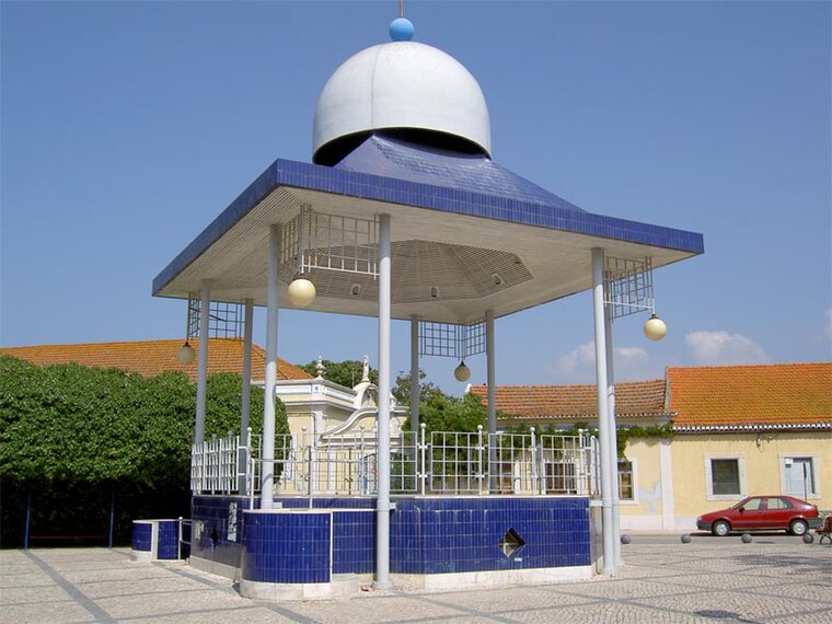
Igreja de São Brás, paroquial do Samouco, incluindo o adro fronteiro e o património móvel integrado
Church

Photo: Dougal2010, CC BY-SA 3.0.
Igreja de São Brás, paroquial do Samouco, incluindo o adro fronteiro e o património móvel integrado is a church, which is situated 1½ km north of Sonepar - Centro Logístico.
Places in the Area
Nearby places include Samouco and Montijo.
Montijo

Photo: Vitor Oliveira, CC BY-SA 2.0.
Montijo is a city and municipality in Setúbal District in Portugal. Its name was Aldeia Galega do Ribatejo or simply Aldeia Galega until 1930. The population in 2021 was 55,732, in an area of 348.62 km2.
Freguesia de Gaio-Rosário
Village

Photo: Link88, Public domain.
Freguesia de Gaio-Rosário is a village, which is situated 3½ km south of Sonepar - Centro Logístico.
Sonepar - Centro Logístico
- Type: Building
- Location: Lisbon District, Portugal, Iberia, Europe
- View on OpenStreetMap
Latitude
38.70699° or 38° 42′ 25″ northLongitude
-9.00263° or 9° 0′ 10″ westOpen location code
8CCGPX4W+QXOpenStreetMap ID
way 321326457OpenStreetMap feature
building=yes
This page is based on OpenStreetMap, Wikidata, and Wikimedia Commons.
We’d love your help improving our open data sources. Thank you for contributing.
Satellite Map
Discover Sonepar - Centro Logístico from above in high-definition satellite imagery.
Notable Places Nearby
Highlights include Crossfit and Terminal Fluvial do Montijo.
Nearby Places
Explore places such as Estrada do Seixalinho (Frente Vivenda Amorim) and Estrada do Seixalinho (Vivenda Amorim).
Portugal: Must-Visit Destinations
Delve into Lisbon, Caldas da Rainha, Porto, and Coimbra.
Curious Buildings to Discover
Uncover intriguing buildings from every corner of the globe.
About Mapcarta. Data © OpenStreetMap contributors and available under the Open Database License". Text is available under the CC BY-SA 4.0 license, except for photos, directions, and the map. Photo: Tsy1980, CC BY-SA 4.0.