Capela do Sanatório
Capela do Sanatório is a church in Fânzeres e São Pedro da Cova, Gondomar Municipality, Porto District. Capela do Sanatório is situated nearby to the ruins Sanatório de Valongo, as well as near Baloiço do Monte Alto.| Tap on a place to explore it |
Places of Interest Nearby
Highlights include Sanatório de Valongo and Cruzeiro de Valongo.
Sanatório de Valongo
Ruins

Photo: Nelson Alexandre Rocha, CC BY 2.0.
Sanatório de Valongo is a ruins.
Cruzeiro de Valongo
Cross

Photo: Vitor Oliveira, CC BY-SA 2.0.
Cruzeiro de Valongo is a cross, which is situated 1½ km northeast of Capela do Sanatório.
Valongo train station
Railway stop
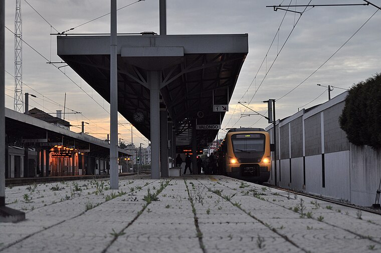
Photo: Giugiaro, CC BY-SA 3.0.
Valongo train station is a railway stop, which is situated 2 km northeast of Capela do Sanatório.
Places in the Area
Nearby places include Fânzeres and Baguim do Monte.
Fânzeres
Town
Fânzeres is a town and a former civil parish in the municipality of Gondomar, Portugal. In 2013, the parish merged into the new parish Fânzeres e São Pedro da Cova.
Baguim do Monte
Village

Photo: Wikimedia, Public domain.
Baguim do Monte is a civil parish in the municipality of Gondomar, Portugal. It was formed on July 11, 1985, by disintegration of territories of the parish of Rio Tinto. Baguim do Monte is situated 2½ km west of Capela do Sanatório.
Couce
Hamlet

Photo: R.f.s.oliveira, CC BY-SA 3.0.
Couce is a hamlet, which is situated 3 km southeast of Capela do Sanatório.
Capela do Sanatório
- Type: Church
- Denomination: Roman Catholic
- Categories: building, chapel, place of worship, and religion
- Location: Fânzeres e São Pedro da Cova, Gondomar Municipality, Porto District, Portugal, Iberia, Europe
- View on OpenStreetMap
Latitude
41.17998° or 41° 10′ 48″ northLongitude
-8.50828° or 8° 30′ 30″ westOpen location code
8CHH5FHR+XMOpenStreetMap ID
way 323155540OpenStreetMap feature
amenity=place_of_worshipOpenStreetMap feature
building=chapelOpenStreetMap attribute
denomination=roman_catholic
This page is based on OpenStreetMap, Wikidata, and Wikimedia Commons.
We’d love your help improving our open data sources. Thank you for contributing.
Satellite Map
Discover Capela do Sanatório from above in high-definition satellite imagery.
Places with the Same Name
Discover other places named “Capela do Sanatório”.
Notable Places Nearby
Highlights include Baloiço do Monte Alto and Capela do Sanatório.
Nearby Places
Explore places such as Estação de Regulação de Pressão e Medição de Valongo and Vasco Lima Couto.
Portugal: Must-Visit Destinations
Delve into Lisbon, Caldas da Rainha, Porto, and Coimbra.
Curious Churches to Discover
Uncover intriguing churches from every corner of the globe.
About Mapcarta. Data © OpenStreetMap contributors and available under the Open Database License". Text is available under the CC BY-SA 4.0 license, except for photos, directions, and the map. Photo: Tsy1980, CC BY-SA 4.0.