Oberlethe
Oberlethe is an electrical substation in Wardenburg, Oldenburg, Lower Saxony which is located on Fürstendamm. Access is restricted and requires permission. Oberlethe is situated nearby to the pond Westerholter See, as well as near Ziegeleimuseum Westerholt.| Tap on a place to explore it |
- Access is restricted and requires permission.
- Type: Electrical substation
- Address: Fürstendamm, Wardenburg, 26203
Places of Interest Nearby
Highlights include Marienkirche and Tillysee.
Marienkirche
Church

Photo: Wikimedia, CC BY-SA 2.5.
Marienkirche is a church, which is situated 2½ km southeast of Oberlethe.
Places in the Area
Nearby places include Oberlethe and Wardenburg.

Wardenburg
Town
Photo: Wikimedia, CC BY-SA 2.5.
Wardenburg is a municipality in the district of Oldenburg, in Lower Saxony, Germany. It is situated on the river Hunte, approx. 8 km south of Oldenburg. Wardenburg is situated 2½ km southeast of Oberlethe.
Hundsmühlen
Village

Photo: JoachimKohlerBremen, CC BY-SA 4.0.
Hundsmühlen is a village, which is situated 3 km northeast of Oberlethe.
Oberlethe
- Category: industry
- Location: Wardenburg, Oldenburg, Lower Saxony, Germany, Central Europe, Europe
- View on OpenStreetMap
Latitude
53.07875° or 53° 4′ 44″ northLongitude
8.16361° or 8° 9′ 49″ eastOperator
AvaconOpen location code
9F5C35H7+FCOpenStreetMap ID
way 32425906
This page is based on OpenStreetMap, Wikidata, and Wikimedia Commons.
We’d love your help improving our open data sources. Thank you for contributing.
Satellite Map
Discover Oberlethe from above in high-definition satellite imagery.
Places with the Same Name
Discover other places named “Oberlethe”.
Notable Places Nearby
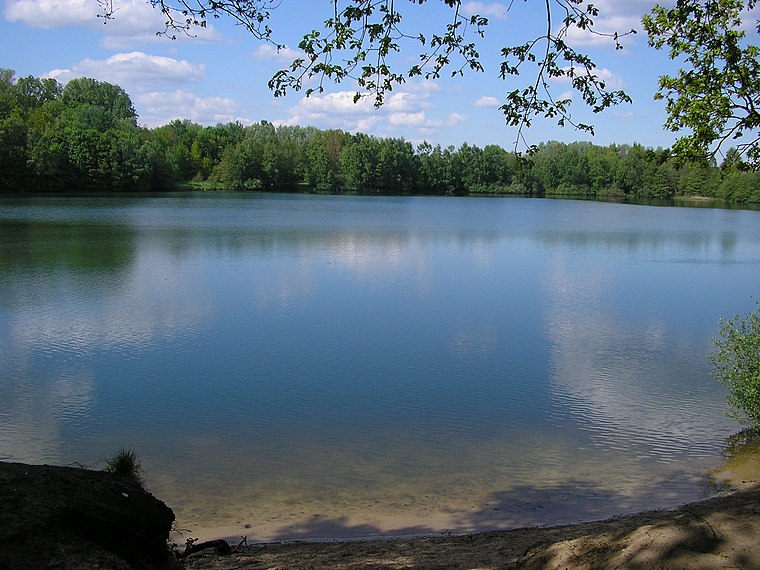
Highlights include Westerholter See and Ziegeleimuseum Westerholt.
Nearby Places
Explore places such as Kirchhoff and Gasverdichterstation Wardenburg.
Lower Saxony: Must-Visit Destinations
Delve into Hanover, Göttingen, Brunswick, and Wolfsburg.
Curious Electrical Substations to Discover
Uncover intriguing electrical substations from every corner of the globe.
About Mapcarta. Data © OpenStreetMap contributors and available under the Open Database License". Text is available under the CC BY-SA 4.0 license, except for photos, directions, and the map. Photo: Danapit, CC BY-SA 3.0.