Tchoup Shop
Tchoup Shop is a convenience store in City of New Orleans, Louisiana. Tchoup Shop is situated nearby to the church Kingdom Hall of Jehovahs Witnesses, as well as near Saint Pauls United Church of Christ.| Tap on a place to explore it |
Places of Interest Nearby
Highlights include Manning Family Children’s and Domilise’s Restaurant.
Manning Family Children’s
Hospital
Manning Family Children's formerly known as Children's Hospital of New Orleans is a non-profit, pediatric acute care children's teaching hospital located in New Orleans, Louisiana. Manning Family Children’s is situated 2,900 feet west of Tchoup Shop.
Domilise’s Restaurant
Restaurant

Photo: Autopilot, CC BY-SA 3.0.
Domilise's Po-Boy and Bar is an uptown New Orleans restaurant known for its po-boy sandwiches. The restaurant was founded in the 1930s by the Domilise family, who lived in the house above the single-room bar/dining area, and was run by Sam and Dorothy “Miss Dot” Domilise for over seventy-five years until her death in 2013. Domilise’s Restaurant is situated 2,100 feet east of Tchoup Shop.
Prytania Theater
Movie theater

Photo: Infrogmation, CC BY 3.0.
Prytania Theater is a movie theater, which is situated 3,800 feet northeast of Tchoup Shop.
Places in the Area
Nearby places include Audubon and University and Westwego.
Audubon and University

Photo: InSapphoWeTrust, CC BY-SA 2.0.
The Audubon and University District of New Orleans is the location of the city's famous Audubon Park including the Audubon Zoo, Tulane University and Loyola University New Orleans.
Westwego
Town

Photo: Wikimedia, CC BY-SA 3.0.
Westwego is a city in the U.S. state of Louisiana, located in Jefferson Parish. It is a suburban community of New Orleans in the Greater New Orleans metropolitan area and lies along the west bank of the Mississippi River. Westwego is situated 1½ miles southwest of Tchoup Shop.
Marrero
Town
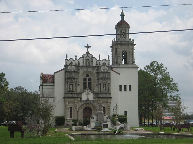
Photo: Wikimedia, CC BY-SA 3.0.
Marrero is a census-designated place in Jefferson Parish, Louisiana, United States. Marrero is on the south side of the Mississippi River, within the New Orleans–Metairie–Kenner metropolitan statistical area. The population was 32,382 at the 2020 U.S. census. Marrero is situated 1½ miles southeast of Tchoup Shop.
Tchoup Shop
- Type: Convenience store
- Categories: building, shop, and food
- Location: City of New Orleans, Orleans, Louisiana, South, United States, North America
- View on OpenStreetMap
Latitude
29.91595° or 29° 54′ 57″ northLongitude
-90.11875° or 90° 7′ 8″ westOpen location code
76XFWV8J+9FOpenStreetMap ID
way 327767739OpenStreetMap feature
building=yesOpenStreetMap feature
shop=convenience
This page is based on OpenStreetMap, Wikidata, and Wikimedia Commons.
We’d love your help improving our open data sources. Thank you for contributing.
Satellite Map
Discover Tchoup Shop from above in high-definition satellite imagery.
Notable Places Nearby
Highlights include Kingdom Hall of Jehovahs Witnesses and Saint Pauls United Church of Christ.
Nearby Places
Explore places such as Wendy’s and Shell.
Louisiana: Must-Visit Destinations
Delve into New Orleans, Baton Rouge, Shreveport, and Natchitoches Parish.
Curious Convenience Stores to Discover
Uncover intriguing convenience stores from every corner of the globe.
About Mapcarta. Data © OpenStreetMap contributors and available under the Open Database License". Text is available under the CC BY-SA 4.0 license, except for photos, directions, and the map. Photo: Wikimedia, CC BY-SA 2.0.