Kläranlage Oberalbach
Kläranlage Oberalbach is a wastewater treatment plant in Wilhelmsdorf, Neustadt-Bad Windsheim, Bavaria. Kläranlage Oberalbach is situated nearby to the pond Mühlweiher, as well as near Oberalbachteiche.| Tap on a place to explore it |
Places of Interest Nearby
Highlights include St. Georg and Hugenottenkirche.
St. Georg
Church

Photo: Tilman2007, CC BY 3.0.
St. Georg is a church, which is situated 1½ km west of Kläranlage Oberalbach.
Hugenottenkirche
Church

Photo: Tilman2007, CC BY-SA 3.0.
Hugenottenkirche is a church, which is situated 1½ km south of Kläranlage Oberalbach.
Emskirchen
Railway station
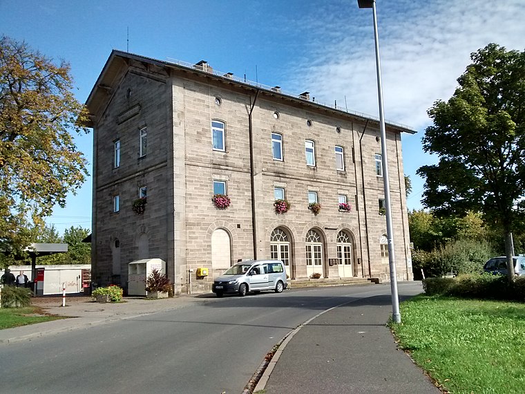
Photo: WMguegafue, CC BY-SA 4.0.
Emskirchen is a railway station, which is situated 3 km southwest of Kläranlage Oberalbach.
Places in the Area
Nearby places include Gunzendorf (Emskirchen) and Emskirchen.
Gunzendorf (Emskirchen)
Village

Photo: WMguegafue, CC BY-SA 4.0.
Gunzendorf (Emskirchen) is a village, which is situated 2½ km south of Kläranlage Oberalbach.
Emskirchen
Village

Photo: Kassandro, CC BY-SA 3.0.
Emskirchen is a municipality in the district of Neustadt -Bad Windsheim in Bavaria in Germany. Emskirchen is situated 3 km south of Kläranlage Oberalbach.
Eckenberg
Village

Photo: HaSe, CC BY-SA 4.0.
Eckenberg is a village, which is situated 3½ km east of Kläranlage Oberalbach.
Kläranlage Oberalbach
- Type: Wastewater treatment plant
- Category: industry
- Location: Wilhelmsdorf, Neustadt-Bad Windsheim, Middle Franconia, Franconia, Bavaria, Germany, Central Europe, Europe
- View on OpenStreetMap
Latitude
49.57665° or 49° 34′ 36″ northLongitude
10.73048° or 10° 43′ 50″ eastOpen location code
8FXGHPGJ+M5OpenStreetMap ID
way 329220851OpenStreetMap feature
landuse=industrialOpenStreetMap feature
man_made=wastewater_plant
This page is based on OpenStreetMap, Wikidata, and Wikimedia Commons.
We’d love your help improving our open data sources. Thank you for contributing.
Satellite Map
Discover Kläranlage Oberalbach from above in high-definition satellite imagery.
Notable Places Nearby
Highlights include Mühlweiher and Oberalbachteiche.
Nearby Places
Explore places such as Dorfscheune Oberalbach and Ebersbach.
Middle Franconia: Must-Visit Destinations
Delve into Nuremberg, Erlangen, Fürth, and Ansbach.
Curious Wastewater Treatment Plants to Discover
Uncover intriguing wastewater treatment plants from every corner of the globe.
About Mapcarta. Data © OpenStreetMap contributors and available under the Open Database License". Text is available under the CC BY-SA 4.0 license, except for photos, directions, and the map. Photo: Berthold Werner, CC0.