Hakoze
Hakoze is a building in Weyhe, Diepholz, Lower Saxony which is located on Werkstraße. Hakoze is situated nearby to Museumslok, as well as near the sports venue TopFit.| Tap on a place to explore it |
Places of Interest Nearby
Highlights include Kirchweyhe station and Weyher Theater.
Kirchweyhe station
Railway station

Photo: Monster4711, CC BY-SA 3.0.
Kirchweyhe is a railway station located in Weyhe, Germany. The station was opened on 15 May 1873 and is located on the Wanne-Eickel–Hamburg railway. The train services are operated by Deutsche Bahn and NordWestBahn. Kirchweyhe station is situated 330 metres south of Hakoze.
Weyher Theater
Theater building

Photo: Marcobra, CC BY-SA 4.0.
Weyher Theater is a theater building, which is situated 640 metres south of Hakoze.
Marienkirche
Church

Photo: UResas, Public domain.
Marienkirche is a church, which is situated 2 km west of Hakoze.
Places in the Area
Nearby places include Weyhe and Lahausen.
Weyhe
Town

Photo: UResas, Public domain.
Weyhe is a municipality in the district of Diepholz, Lower Saxony, Germany. It is situated approximately 15 km south of Bremen.

Hakoze
- Type: Building
- Address: Werkstraße 2, Weyhe, 28844
- Location: Weyhe, Diepholz, Lower Saxony, Germany, Central Europe, Europe
- View on OpenStreetMap
Latitude
52.98719° or 52° 59′ 14″ northLongitude
8.84606° or 8° 50′ 46″ eastOpen location code
9F4CXRPW+VCOpenStreetMap ID
way 329709626OpenStreetMap feature
building=yes
This page is based on OpenStreetMap, Wikidata, and Wikimedia Commons.
We’d love your help improving our open data sources. Thank you for contributing.
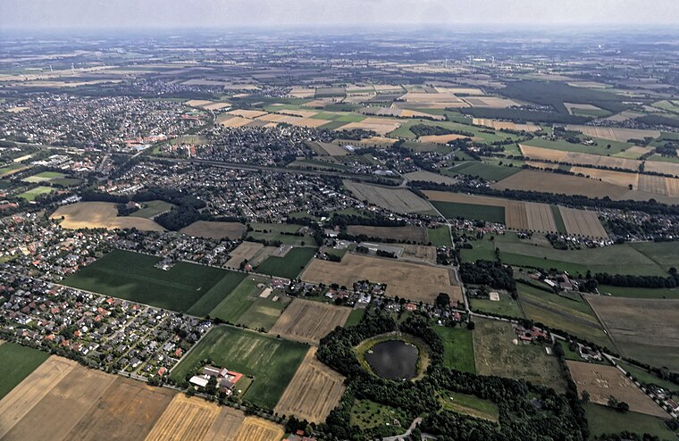
Satellite Map
Discover Hakoze from above in high-definition satellite imagery.
Notable Places Nearby
Highlights include Museumslok and TopFit.
Nearby Places
Explore places such as Alberring and Restaurant Antica.
Lower Saxony: Must-Visit Destinations
Delve into Hanover, Göttingen, Brunswick, and Wolfsburg.
Curious Buildings to Discover
Uncover intriguing buildings from every corner of the globe.
About Mapcarta. Data © OpenStreetMap contributors and available under the Open Database License". Text is available under the CC BY-SA 4.0 license, except for photos, directions, and the map. Photo: Danapit, CC BY-SA 3.0.