Parkplatz Freizeit- u. Erholungspark Mitterwöhr
Parkplatz Freizeit- u. Erholungspark Mitterwöhr is a parking area in Ergolding, Landshut, Bavaria. Parkplatz Freizeit- u. Erholungspark Mitterwöhr is situated nearby to the community center Vereinsheim TV 64, as well as near TC Weiss-Blau Landshut e.V..| Tap on a place to explore it |
Places of Interest Nearby
Highlights include Erlöserkirche and Schloss Piflas (Ergolding).
Erlöserkirche
Church

Photo: Gliwi, CC BY-SA 3.0.
Erlöserkirche is a church, which is situated 680 metres south of Parkplatz Freizeit- u. Erholungspark Mitterwöhr.
Schloss Piflas (Ergolding)
Castle
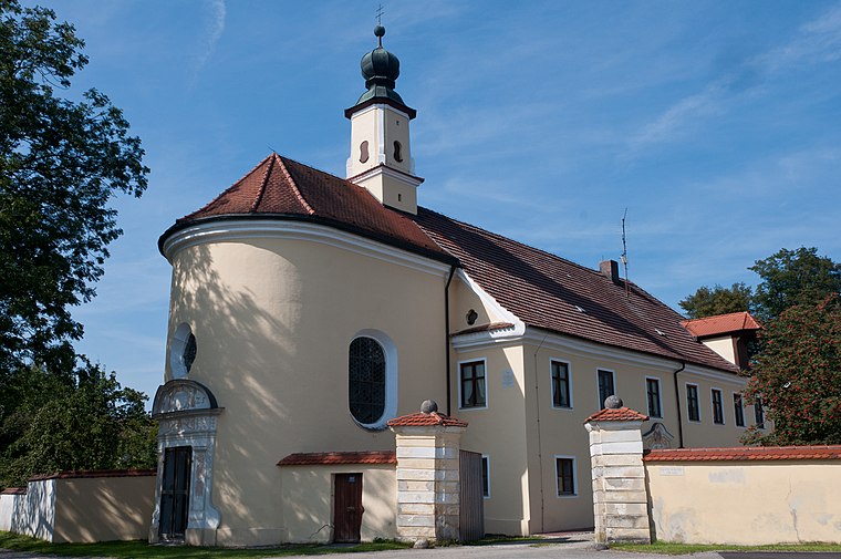
Photo: Mathias Plonka, CC BY-SA 3.0.
Schloss Piflas (Ergolding) is a castle, which is situated 730 metres west of Parkplatz Freizeit- u. Erholungspark Mitterwöhr.
St. Peter und Paul (Landshut)
Church

Photo: Cm95, CC BY-SA 4.0.
St. Peter und Paul (Landshut) is a church, which is situated 1 km south of Parkplatz Freizeit- u. Erholungspark Mitterwöhr.
Places in the Area
Nearby places include Schönbrunn and Landshut.

Landshut

Photo: Tbp386, CC BY-SA 3.0.
Landshut is the capital and the biggest city of Lower Bavaria in the German federal state of Bavaria. The city is best known for the Landshut Wedding, a quadrennial re-enactment of the actual medieval wedding, including knights' tournaments.
Achdorf
Suburb

Photo: Helmlechner, CC BY-SA 3.0.
Achdorf is a suburb, which is situated 4½ km southwest of Parkplatz Freizeit- u. Erholungspark Mitterwöhr.
Parkplatz Freizeit- u. Erholungspark Mitterwöhr
- Type: Parking area
- Parking: surface
- Category: transportation
- Location: Ergolding, Landshut, Lower Bavaria, Bavaria, Germany, Central Europe, Europe
- View on OpenStreetMap
Latitude
48.55293° or 48° 33′ 11″ northLongitude
12.17806° or 12° 10′ 41″ eastOpen location code
8FWJH53H+56OpenStreetMap ID
way 33190601OpenStreetMap feature
amenity=parkingOpenStreetMap attribute
parking=surface
This page is based on OpenStreetMap, Wikidata, and Wikimedia Commons.
We’d love your help improving our open data sources. Thank you for contributing.
Satellite Map
Discover Parkplatz Freizeit- u. Erholungspark Mitterwöhr from above in high-definition satellite imagery.
Notable Places Nearby
Highlights include Vereinsheim TV 64 and TC Weiss-Blau Landshut e.V..
Nearby Places
Explore places such as Campingplatz and Campingplatz.
Lower Bavaria: Must-Visit Destinations
Delve into Passau, Landshut, Straubing, and Deggendorf.
Curious Parking Areas to Discover
Uncover intriguing parking areas from every corner of the globe.
About Mapcarta. Data © OpenStreetMap contributors and available under the Open Database License". Text is available under the CC BY-SA 4.0 license, except for photos, directions, and the map. Photo: Wikimedia, CC0.