SNG
SNG is a gas station in Municipality of the Capital, Sofia-Capital. SNG is situated nearby to the health club Ameka, as well as near Sport City.| Tap on a place to explore it |
Places of Interest Nearby
Highlights include Lyulin and Slivnitsa.
Lyulin
Metro station
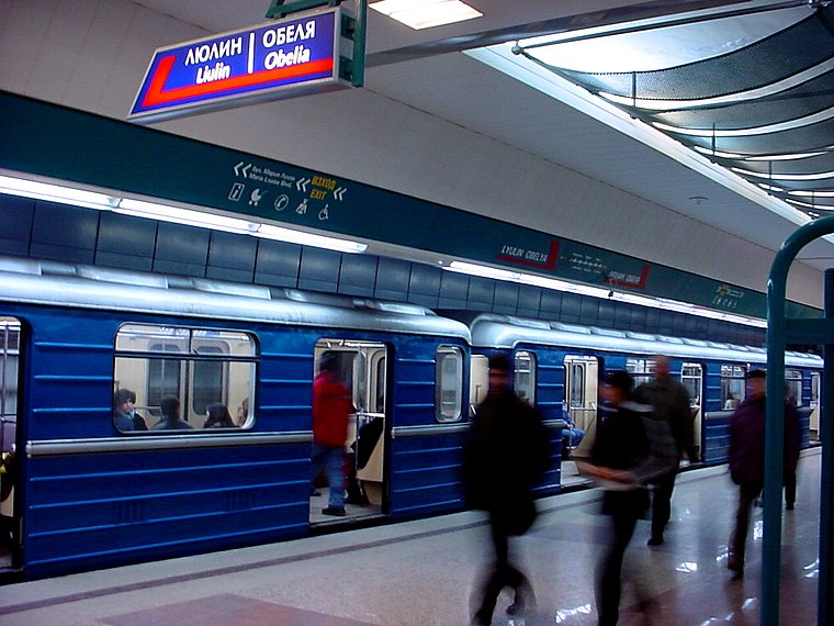
Photo: Wikimedia, CC BY-SA 3.0.
Lyulin Metro Station is a station on the Sofia Metro in Bulgaria. It opened on 28 January 1998. The station is serving the Lyulin housing estate. Lyulin is situated 1 km southeast of SNG.
Slivnitsa
Metro station

Photo: Nikki070, CC BY-SA 4.0.
Slivnitza Metro Station is a station on the Sofia Metro in Bulgaria. It opened on 28 January 1998. Slivnitsa is situated 1¼ km east of SNG.
NGDEK
School
The National School for Ancient Languages and Cultures "Saint Constantine-Cyril the Philosopher", abbreviated in Bulgarian НГДЕК, is a high school, located in Sofia, Bulgaria. NGDEK is situated 2 km east of SNG.
Places in the Area
Nearby places include Obelya 1 and kv. Obelya.
kv. Obelya
Suburb

Photo: Емил, CC BY-SA 3.0.
kv. Obelya is a suburb, which is situated 2½ km northeast of SNG.
Volujak
Village

Photo: Edal, CC BY-SA 3.0.
Voluyak is a village in Vrabnitsa district of the Bulgarian capital Sofia, located some 10 km northwest of the city center. As of 2024 it has 2,746 inhabitants. Volujak is situated 6 km north of SNG.
SNG
- Type: Gas station
- Category: transportation
- Location: Municipality of the Capital, Sofia-Capital, Bulgaria, Balkans, Europe
- View on OpenStreetMap
Latitude
42.7241° or 42° 43′ 27″ northLongitude
23.24789° or 23° 14′ 52″ eastBrand
SNGOperator
Синергон петролеумOpen location code
8GJ5P6FX+J5OpenStreetMap ID
way 332464791OpenStreetMap feature
amenity=fuel
This page is based on OpenStreetMap, Wikidata, and Wikimedia Commons.
We’d love your help improving our open data sources. Thank you for contributing.
Satellite Map
Discover SNG from above in high-definition satellite imagery.
Places with the Same Name
Discover other places named “SNG”.
Notable Places Nearby
Highlights include Ameka and Sport City.
Nearby Places
Explore places such as Тимекс - Джендов и Сие and Гости.
Bulgaria: Must-Visit Destinations
Delve into Sofia, Veliko Tarnovo, Plovdiv, and Varna.
Curious Gas Stations to Discover
Uncover intriguing gas stations from every corner of the globe.
About Mapcarta. Data © OpenStreetMap contributors and available under the Open Database License". Text is available under the CC BY-SA 4.0 license, except for photos, directions, and the map. Photo: Pamporoff, Public domain.