Conseil Département de l’Isère
Conseil Département de l’Isère is a government building in Grenoble, Isère, Auvergne-Rhône-Alpes. Conseil Département de l’Isère is situated nearby to the public building Département de l’Isère Direction du développement, Reprographie, as well as near Émilie Kern.| Tap on a place to explore it |
Places of Interest Nearby
Highlights include Natural History Museum of Grenoble and Bibliothèque municipale de Grenoble.
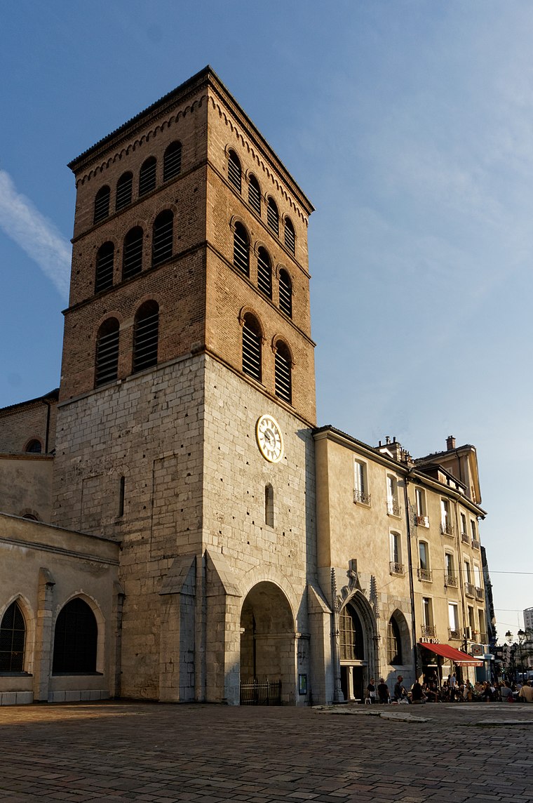
Natural History Museum of Grenoble
Museum

Photo: Milky, CC BY-SA 3.0.
Natural History Museum of Grenoble is situated 170 metres northeast of Conseil Département de l’Isère.
Bibliothèque municipale de Grenoble
Library

Photo: Rémih, CC BY-SA 3.0.
The Bibliothèque municipale de Grenoble is a library in Grenoble, France. It was founded in 1772, following the succession of Bishop, Jean de Caulet. The current building located Boulevard Maréchal Lyautey was opened in January 1960 for the University and since 1970, for all audiences. Bibliothèque municipale de Grenoble is situated 300 metres southwest of Conseil Département de l’Isère.
Ancien musée-bibliothèque de Grenoble
Museum

Photo: Jvillafruela, CC BY-SA 4.0.
Ancien musée-bibliothèque de Grenoble is a museum, which is situated 250 metres north of Conseil Département de l’Isère.
Places in the Area
Nearby places include Notre-Dame and Saint-Martin-d’Hères.
Saint-Martin-d’Hères
Town

Photo: Binnette, CC BY-SA 3.0.
Saint-Martin-d'Hères is a commune in the Isère department in southeastern France. Part of the Grenoble urban unit, it is the largest suburb of the city of Grenoble and is adjacent to it on the east.
University campus in Grenoble
Suburb

Photo: Rémih, CC BY-SA 3.0.
University campus in Grenoble is a suburb, which is situated 2½ km east of Conseil Département de l’Isère.
Conseil Département de l’Isère
- Type: Government building
- Category: building
- Location: Grenoble, Arrondissement of Grenoble, Isère, Auvergne-Rhône-Alpes, France, Europe
- View on OpenStreetMap
Latitude
45.18735° or 45° 11′ 15″ northLongitude
5.73335° or 5° 44′ 0″ eastOpen location code
8FQ75PPM+W8OpenStreetMap ID
way 33462868OpenStreetMap feature
building=government
This page is based on OpenStreetMap, Wikidata, and Wikimedia Commons.
We’d love your help improving our open data sources. Thank you for contributing.
Satellite Map
Discover Conseil Département de l’Isère from above in high-definition satellite imagery.
Notable Places Nearby
Highlights include Département de l’Isère and Département de l’Isère Direction du développement, Reprographie.
Nearby Places
Explore places such as Le Select and Haxo (6).
Isère: Must-Visit Destinations
Delve into Vienne, Voiron, Alpe d’Huez, and Les Deux Alpes.
Curious Government Buildings to Discover
Uncover intriguing government buildings from every corner of the globe.
About Mapcarta. Data © OpenStreetMap contributors and available under the Open Database License". Text is available under the CC BY-SA 4.0 license, except for photos, directions, and the map. Photo: Inkey, CC BY 2.5.