Parc d’Activité de Vianneries
Parc d’Activité de Vianneries is in Les Mesneux, Arrondissement of Reims, Grand Est. Parc d’Activité de Vianneries is situated nearby to the church Église Saint-Remi des Mesneux, as well as near the cemetery cimetière municipal.| Tap on a place to explore it |
Places of Interest Nearby
Highlights include Église Saint-Remi des Mesneux and Église de Ormes.
Église Saint-Remi des Mesneux
Church

Photo: Fab5669, CC BY-SA 4.0.
Église Saint-Remi des Mesneux is a church, which is situated 570 metres south of Parc d’Activité de Vianneries.
Église de Ormes
Church

Photo: Garitan, CC BY-SA 3.0.
Église de Ormes is a church, which is situated 1½ km north of Parc d’Activité de Vianneries.
Église de Bezannes
Church
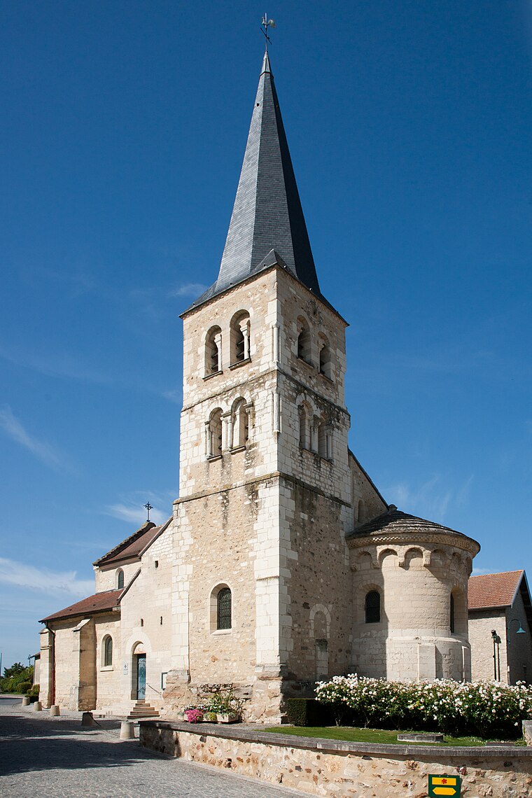
Photo: Inisheer, CC BY-SA 3.0.
Église de Bezannes is a church, which is situated 2 km east of Parc d’Activité de Vianneries.
Places in the Area
Nearby places include Reims.
Reims

Photo: Traveler100, CC BY-SA 3.0.
Reims, a city in Champagne-Ardenne, France, is perhaps best known for its world heritage listed cathedral, where generations of French kings were crowned.
Parc d’Activité de Vianneries
- Type: Industry
- Location: Les Mesneux, Arrondissement of Reims, Marne, Grand Est, France, Europe
- View on OpenStreetMap
Latitude
49.22458° or 49° 13′ 29″ northLongitude
3.96145° or 3° 57′ 41″ eastOpen location code
8FX56XF6+RHOpenStreetMap ID
way 335207890OpenStreetMap feature
landuse=industrial
This page is based on OpenStreetMap, Wikidata, and Wikimedia Commons.
We’d love your help improving our open data sources. Thank you for contributing.
Satellite Map
Discover Parc d’Activité de Vianneries from above in high-definition satellite imagery.
Notable Places Nearby
Highlights include cimetière municipal and Les Mesneux I.
Nearby Places
Explore places such as Intermarché and Intermarché Contact.
Grand Est: Must-Visit Destinations
Delve into Strasbourg, Reims, Metz, and Nancy.
Curious Places to Discover
Uncover intriguing places from every corner of the globe.
About Mapcarta. Data © OpenStreetMap contributors and available under the Open Database License". Text is available under the CC BY-SA 4.0 license, except for photos, directions, and the map. Photo: Inkey, CC BY-SA 2.0.