Boulodrome de Montjoyeux
Boulodrome de Montjoyeux is a pitch in Tours, Indre-et-Loire, Centre-Val de Loire. Boulodrome de Montjoyeux is situated nearby to the post office Bureau de Poste de Tours Montjoyeux, as well as near the shopping center Centre Commercial Montjoyeux.| Tap on a place to explore it |
Places of Interest Nearby
Highlights include Église Saint-Jean de Tours and Manoir de la Sagerie.
Église Saint-Jean de Tours
Church

Photo: Guillaume70, CC BY-SA 4.0.
Église Saint-Jean de Tours is a church, which is situated 120 metres west of Boulodrome de Montjoyeux.
Manoir de la Sagerie
Castle

Photo: ManuD, CC BY-SA 1.0.
Manoir de la Sagerie is a castle, which is situated 580 metres south of Boulodrome de Montjoyeux.
Manoir de la Grand’Cour
Castle
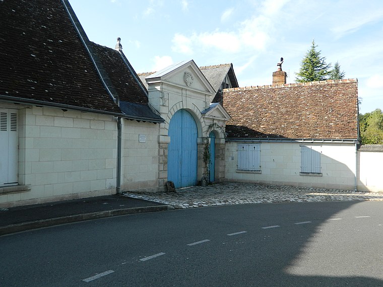
Photo: ManuD, CC BY-SA 3.0.
Manoir de la Grand’Cour is a castle, which is situated 730 metres southeast of Boulodrome de Montjoyeux.
Places in the Area
Nearby places include Les Fontaines and Sanitas.


Boulodrome de Montjoyeux
- Type: Pitch
- Categories: recreation area, bocce, and sports location
- Location: Tours, Arrondissement of Tours, Indre-et-Loire, Centre-Val de Loire, France, Europe
- View on OpenStreetMap
Latitude
47.36102° or 47° 21′ 40″ northLongitude
0.70751° or 0° 42′ 27″ eastOpen location code
8FV29P65+C2OpenStreetMap ID
way 33622781OpenStreetMap feature
leisure=pitchOpenStreetMap feature
sport=boules
This page is based on OpenStreetMap, Wikidata, and Wikimedia Commons.
We’d love your help improving our open data sources. Thank you for contributing.
Satellite Map
Discover Boulodrome de Montjoyeux from above in high-definition satellite imagery.
Notable Places Nearby
Highlights include Bureau de Poste de Tours Montjoyeux and Centre Commercial Montjoyeux.
Nearby Places
Explore places such as Montjoyeux and Montjoyeux.
Centre-Val de Loire: Must-Visit Destinations
Delve into Orléans, Chartres, Bourges, and Blois.
Curious Pitches to Discover
Uncover intriguing pitches from every corner of the globe.
About Mapcarta. Data © OpenStreetMap contributors and available under the Open Database License". Text is available under the CC BY-SA 4.0 license, except for photos, directions, and the map. Photo: Pierre-Antoine Demachy, Public domain.