Mülihölzli
Mülihölzli is a parking area in Stäfa, Meilen District, Canton of Zurich. Mülihölzli is situated nearby to the athletics track Finnenbahn, as well as near the pitch Schiessplatz Stäfa (50m & 300m).| Tap on a place to explore it |
Places of Interest Nearby
Highlights include Stäfa railway station and Reformed church with rectory.
Stäfa railway station
Railway station
 Stäfa is a railway station in the Swiss canton of Zurich, situated in the municipality of Stäfa on the eastern shore of Lake Zurich. The station is located on the Lake Zurich right-bank line, within fare zone 143 of the Zürcher Verkehrsverbund. Stäfa railway station is situated 2 km south of Mülihölzli.
Reformed church with rectory
Church

Photo: Roland Zumbuehl, CC BY-SA 4.0.
Reformed church with rectory is situated 1¼ km north of Mülihölzli.
Seeweidsee
Lake
Seeweidsee is a lake in the municipality of Hombrechtikon, in the Canton of Zurich, Switzerland. Its surface area is 1.2 ha. Lake has grass floating mat at it shores.
Places in the Area
Nearby places include Oetwil am See and Mutzmalen.
Oetwil am See
Village

Photo: Waldteufel78, CC BY-SA 4.0.
Oetwil am See is a municipality in the district of Meilen in the canton of Zürich in Switzerland. It is located in the Pfannenstiel region.
Mutzmalen
Hamlet
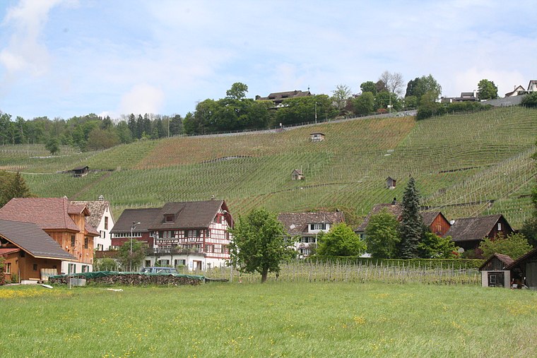
Photo: Parpan05, CC BY-SA 3.0.
Mutzmalen is a small village between Stäfa and Männedorf, in the canton of Zürich in Switzerland.
Stäfa
Town

Photo: Roland zh, CC BY-SA 3.0.
Stäfa is a municipality in the district of Meilen in the canton of Zürich in Switzerland.
Mülihölzli
- Type: Parking area
- Parking: surface
- Category: transportation
- Location: Stäfa, Meilen District, Canton of Zurich, Switzerland, Central Europe, Europe
- View on OpenStreetMap
Latitude
47.25843° or 47° 15′ 30″ northLongitude
8.72147° or 8° 43′ 17″ eastOpen location code
8FVC7P5C+9HOpenStreetMap ID
way 33652014OpenStreetMap feature
amenity=parkingOpenStreetMap attribute
parking=surface
This page is based on OpenStreetMap, Wikidata, and Wikimedia Commons.
We’d love your help improving our open data sources. Thank you for contributing.
Satellite Map
Discover Mülihölzli from above in high-definition satellite imagery.
Places with the Same Name
Discover other places named “Mülihölzli”.
Notable Places Nearby
Highlights include Finnenbahn and Schiessplatz Stäfa (50m & 300m).
Nearby Places
Explore places such as Helsana Trail and Mülihölzli.
Switzerland: Must-Visit Destinations
Delve into Zurich, Berne, Geneva, and Basel.
Curious Parking Areas to Discover
Uncover intriguing parking areas from every corner of the globe.
About Mapcarta. Data © OpenStreetMap contributors and available under the Open Database License". Text is available under the CC BY-SA 4.0 license, except for photos, directions, and the map. Photo: Wikimedia, CC0.