Alte Silos/Lagerhausgelände
Alte Silos/Lagerhausgelände is in Nickelsdorf, Neusiedl am See District, Burgenland. Alte Silos/Lagerhausgelände is situated nearby to the railway station Nickelsdorf, as well as near the church Evangelische Kirche.| Tap on a place to explore it |
Places in the Area
Nearby places include Deutsch Jahrndorf and Zeiselhof.
Deutsch Jahrndorf
Village
Deutsch Jahrndorf is a municipality in the district of Neusiedl am See, in the Austrian state of Burgenland. It is within a few kilometres of the borders of both Hungary and Slovakia. Deutsch Jahrndorf is situated 8 km north of Alte Silos/Lagerhausgelände.
Zeiselhof
Hamlet
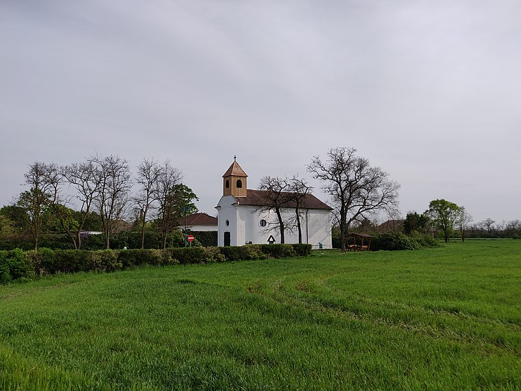
Photo: Rosso Robot, CC BY-SA 4.0.
Zeiselhof is a hamlet, which is situated 9 km north of Alte Silos/Lagerhausgelände.
Albertkázmérpuszta
Hamlet

Photo: Pasztilla, CC BY-SA 4.0.
Albertkázmérpuszta is a hamlet, which is situated 10 km southwest of Alte Silos/Lagerhausgelände.
Alte Silos/Lagerhausgelände
- Type: Railway
- Category: transportation
- Location: Nickelsdorf, Neusiedl am See District, Burgenland, Austria, Central Europe, Europe
- View on OpenStreetMap
Latitude
47.94476° or 47° 56′ 41″ northLongitude
17.08174° or 17° 4′ 54″ eastOpen location code
8FVVW3VJ+WMOpenStreetMap ID
way 33766504OpenStreetMap feature
landuse=railway
This page is based on OpenStreetMap, Wikidata, and Wikimedia Commons.
We’d love your help improving our open data sources. Thank you for contributing.
Satellite Map
Discover Alte Silos/Lagerhausgelände from above in high-definition satellite imagery.
Notable Places Nearby
Highlights include Nickelsdorf and Bahnhof Nickelsdorf.
Nearby Places
Explore places such as Alte Silos and VGS 80 Nickelsdorf.
Burgenland: Must-Visit Destinations
Delve into Eisenstadt, Neusiedl am See, Rust, and Güssing.
Curious Places to Discover
Uncover intriguing places from every corner of the globe.
About Mapcarta. Data © OpenStreetMap contributors and available under the Open Database License". Text is available under the CC BY-SA 4.0 license, except for photos, directions, and the map. Photo: Wikimedia, CC BY-SA 4.0.