P4 (Ex P3)
P4 (Ex P3) is a parking area in Toulouse, Haute-Garonne, Occitanie. Access is restricted and requires permission. P4 (Ex P3) is situated nearby to the college Institut de Formation en Soins Infirmiers des Hôpitaux de Toulouse, as well as near the village green Zone de biodiversité.| Tap on a place to explore it |
- Access is restricted and requires permission.
- Type: Parking area
- Parking: surface
Places of Interest Nearby
Highlights include Rangueil Hospital and Institut national des sciences appliquées de Toulouse.
Rangueil Hospital
Hospital

Photo: Archaeodontosaurus, CC BY-SA 4.0.
Rangueil Hospital is situated 220 metres north of P4 (Ex P3).
Institut national des sciences appliquées de Toulouse
College
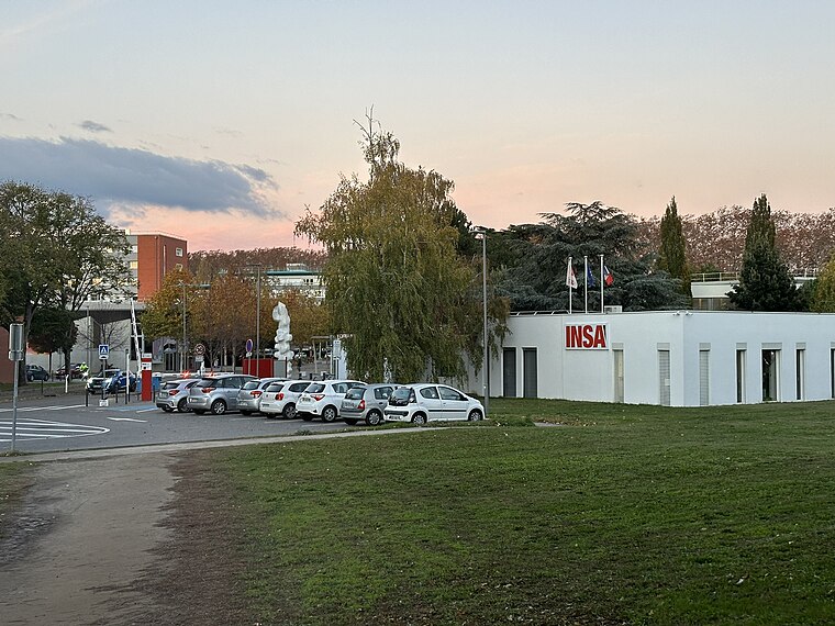 The Institut National des Sciences Appliquées de Toulouse or INSA Toulouse is a French grande école of engineering, under the authority of the French Ministry of Education and Research. Institut national des sciences appliquées de Toulouse is situated 2 km northeast of P4 (Ex P3).
Château de Bellevue
School building
 Château de Bellevue is a school building, which is situated 480 metres east of P4 (Ex P3).
Places in the Area
Nearby places include Rangueil and Toulouse Saint-Agne.
Rangueil
Suburb
Photo: Archaeodontosaurus, CC BY-SA 4.0.
Rangueil is a residential area south-east of Toulouse in Haute-Garonne, France, where grandes écoles and Universities are located as well as an important scientific complex. It has 2,295 inhabitants.
Toulouse Saint-Agne
Suburb

Photo: Archaeodontosaurus, CC BY-SA 4.0.
Toulouse Saint-Agne is a suburb.
Toulouse Empalot
Suburb

Photo: Olybrius, CC BY-SA 3.0.
Toulouse Empalot is a suburb, which is situated 2½ km northwest of P4 (Ex P3).
P4 (Ex P3)
- Category: transportation
- Location: Toulouse, Arrondissement of Toulouse, Haute-Garonne, Occitanie, France, Europe
- View on OpenStreetMap
Latitude
43.55846° or 43° 33′ 31″ northLongitude
1.45211° or 1° 27′ 8″ eastOpen location code
8FM3HF52+9ROpenStreetMap ID
way 339020406OpenStreetMap feature
amenity=parkingOpenStreetMap attribute
parking=surface
This page is based on OpenStreetMap, Wikidata, and Wikimedia Commons.
We’d love your help improving our open data sources. Thank you for contributing.
Satellite Map
Discover P4 (Ex P3) from above in high-definition satellite imagery.
Notable Places Nearby
Highlights include Institut de Formation en Soins Infirmiers des Hôpitaux de Toulouse and Zone de biodiversité.
Nearby Places
Explore places such as Hôpital Rangueil - Louis Lareng and M.P.R..
Haute-Garonne: Must-Visit Destinations
Delve into Boutx, Tarn, Roquesérière, and Pechbonnieu.
Curious Parking Areas to Discover
Uncover intriguing parking areas from every corner of the globe.
About Mapcarta. Data © OpenStreetMap contributors and available under the Open Database License". Text is available under the CC BY-SA 4.0 license, except for photos, directions, and the map. Photo: PierreSelim, CC BY 3.0.