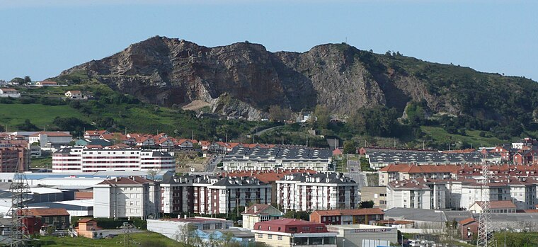
Comandancia de la Guardia Civil
Comandancia de la Guardia Civil is a police station in Santander, Cantabria which is located on Calle de Campogiro. Comandancia de la Guardia Civil is situated nearby to the pitch Pista polideportiva San Joaquín, as well as near the meadow Parque de La Remonta.| Tap on a place to explore it |
- Type: Police station
- Address: Calle de Campogiro 22, Santander, 39011
- Roof shape: hipped
Places of Interest Nearby
Highlights include Adarzo and Cazoña.
Adarzo
Railway station

Photo: Vanbasten 23, CC BY-SA 3.0.
Adarzo is a railway station, which is situated 650 metres west of Comandancia de la Guardia Civil.
Cazoña
Railway station

Photo: Vanbasten 23, CC BY-SA 3.0.
Cazoña is a railway station, which is situated 600 metres east of Comandancia de la Guardia Civil.
Places in the Area
Nearby places include La Albericia and Nueva Montaña.


Comandancia de la Guardia Civil
- Category: building
- Location: Santander, Cantabria, Green Spain, Spain, Iberia, Europe
- View on OpenStreetMap
Latitude
43.45332° or 43° 27′ 12″ northLongitude
-3.84776° or 3° 50′ 52″ westLevels
4Open location code
8CMRF532+8VOpenStreetMap ID
way 339318448OpenStreetMap feature
amenity=policeOpenStreetMap feature
building=yesOpenStreetMap attribute
roof-shape=hipped
This page is based on OpenStreetMap, Wikidata, and Wikimedia Commons.
We’d love your help improving our open data sources. Thank you for contributing.
Satellite Map
Discover Comandancia de la Guardia Civil from above in high-definition satellite imagery.
Places with the Same Name
Discover other places named “Comandancia de la Guardia Civil”.
Notable Places Nearby
Highlights include Pista polideportiva San Joaquín and Comandancia de la Guardia Civil de Cantabria.
Nearby Places
Explore places such as Campogiro 90 and Bloque 2.
Cantabria: Must-Visit Destinations
Delve into Santillana del Mar, Castro Urdiales, and Valles Pasiegos.
Curious Police Stations to Discover
Uncover intriguing police stations from every corner of the globe.
About Mapcarta. Data © OpenStreetMap contributors and available under the Open Database License". Text is available under the CC BY-SA 4.0 license, except for photos, directions, and the map. Photo: Kulmalukko, CC BY-SA 4.0.