Aartalhof
Aartalhof is a farm in Taunusstein, Rheingau-Taunus-Kreis, Hesse. Aartalhof is situated nearby to the sports venue Reiterhof Müller, as well as near Reiterhof Großmann.| Tap on a place to explore it |
Places of Interest Nearby
Highlights include Evangelische Kirche and Kleinkastell Heidekringen.
Evangelische Kirche
Church

Photo: Joker, CC BY-SA 3.0.
Evangelische Kirche is a church, which is situated 1 km northeast of Aartalhof.
Kleinkastell Heidekringen

Photo: Frank Winkelmann, Copyrighted free use.
Kleinkastell Heidekringen is situated 2 km east of Aartalhof.
Jagdschloss Platte
Castle
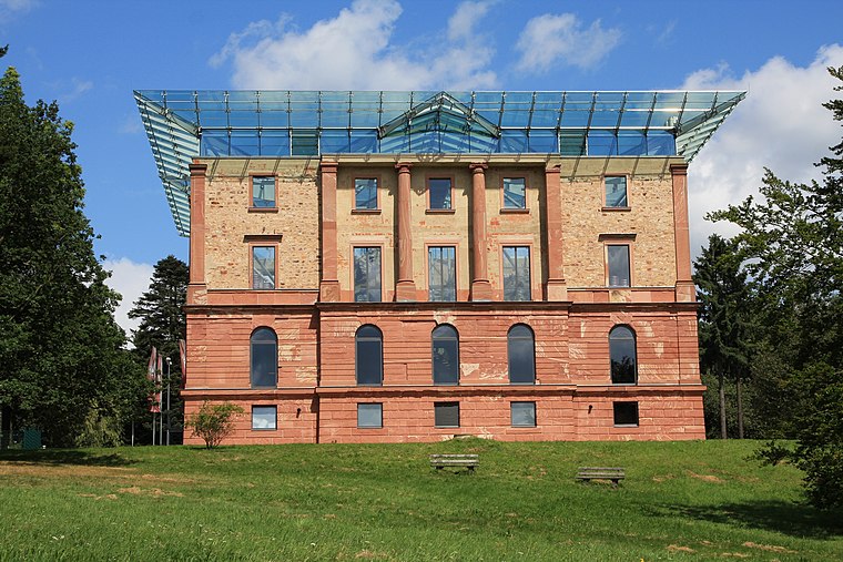
Photo: Wo st 01, CC BY-SA 3.0 de.
Jagdschloss Platte is a castle, which is situated 4 km southeast of Aartalhof.
Places in the Area
Nearby places include Orlen and Steckenroth.
Orlen
Village

Photo: Kreuzschnabel, CC BY-SA 3.0.
Orlen is a village, which is situated 3½ km north of Aartalhof.
Steckenroth
Village

Photo: Kreuzschnabel, CC BY-SA 3.0.
Steckenroth is a village, which is situated 6 km northwest of Aartalhof.
Oberlibbach
Village

Photo: Kreuzschnabel, CC BY-SA 3.0.
Oberlibbach is a village, which is situated 7 km north of Aartalhof.
Aartalhof
- Type: Farm
- Category: agriculture
- Location: Taunusstein, Rheingau-Taunus-Kreis, South Hesse, Hesse, Germany, Central Europe, Europe
- View on OpenStreetMap
Latitude
50.14963° or 50° 8′ 59″ northLongitude
8.1719° or 8° 10′ 19″ eastOpen location code
9F2C45XC+VQOpenStreetMap ID
way 34306770OpenStreetMap feature
landuse=farmyard
This page is based on OpenStreetMap, Wikidata, and Wikimedia Commons.
We’d love your help improving our open data sources. Thank you for contributing.
Satellite Map
Discover Aartalhof from above in high-definition satellite imagery.
Notable Places Nearby
Highlights include Reiterhof Müller and Reiterhof Großmann.
Nearby Places
Explore places such as Lucky and Pension Aarmühle.
South Hesse: Must-Visit Destinations
Delve into Darmstadt, Bensheim, Lorsch, and Heppenheim.
Curious Farms to Discover
Uncover intriguing farms from every corner of the globe.
About Mapcarta. Data © OpenStreetMap contributors and available under the Open Database License". Text is available under the CC BY-SA 4.0 license, except for photos, directions, and the map. Photo: Mylius, GFDL.