Les jardins des Grelinettes
Les jardins des Grelinettes is an allotment garden in Margny-lès-Compiègne, Arrondissement of Compiègne, Hauts-de-France. Les jardins des Grelinettes is situated nearby to the government office Inspection Académique de l’Oise, as well as near the cemetery Cimetière de Margny-Lès-Compiègne.| Tap on a place to explore it |
Places of Interest Nearby
Highlights include Compiègne station and Compiègne Margny Airfield.
Compiègne station
Railway station

Photo: Wikimedia, CC BY-SA 2.0.
Compiègne station is a railway station serving Compiègne, in the Oise department of northern France. The station is on the Creil–Jeumont railway. It is served by regional trains to Creil, Amiens, Saint-Quentin and Paris. Compiègne station is situated 1 km southeast of Les jardins des Grelinettes.
Compiègne Margny Airfield
Aerodrome
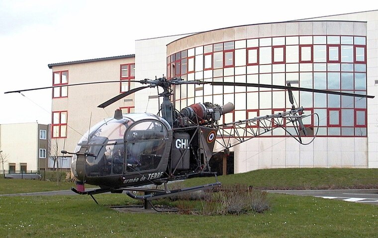
Photo: Sting, CC BY-SA 2.5.
Compiègne Margny Airfield is an aerodrome.
Église Sainte-Jeanne-d’Arc de Margny-lès-Compiègne
Church

Photo: Bender607, CC BY-SA 4.0.
Église Sainte-Jeanne-d’Arc de Margny-lès-Compiègne is a church, which is situated 650 metres southeast of Les jardins des Grelinettes.
Places in the Area
Nearby places include Compiègne and Venette.
Compiègne
Town

Photo: Baidax, CC BY-SA 4.0.
Compiègne is a commune in the Oise department of northern France. It is located on the river Oise, and its inhabitants are called Compiégnois.
Venette
Village

Photo: P.poschadel, CC BY-SA 3.0.
Venette is a commune in the Oise department in northern France. The town is located along the river Oise, near Compiègne.
Bienville
Village

Photo: Peter17, CC BY-SA 3.0.
Bienville is a commune in the Oise department in northern France… Bienville is situated 2½ km northeast of Les jardins des Grelinettes.
Les jardins des Grelinettes
Latitude
49.42861° or 49° 25′ 43″ northLongitude
2.81209° or 2° 48′ 44″ eastOpen location code
8FX4CRH6+CROpenStreetMap ID
way 344076723OpenStreetMap feature
landuse=allotments
This page is based on OpenStreetMap, Wikidata, and Wikimedia Commons.
We’d love your help improving our open data sources. Thank you for contributing.
Satellite Map
Discover Les jardins des Grelinettes from above in high-definition satellite imagery.
Notable Places Nearby
Highlights include Inspection Académique de l’Oise and Cimetière de Margny-Lès-Compiègne.
Nearby Places
Explore places such as Claire Le Meur and Rhubarbissimo.
Hauts-de-France: Must-Visit Destinations
Delve into Lille, Dunkirk, Calais, and Amiens.
Curious Allotment Gardens to Discover
Uncover intriguing allotment gardens from every corner of the globe.
About Mapcarta. Data © OpenStreetMap contributors and available under the Open Database License". Text is available under the CC BY-SA 4.0 license, except for photos, directions, and the map. Photo: Popolon, CC BY-SA 3.0.