ehemaliger Wohnpark-Kiosk
ehemaliger Wohnpark-Kiosk is a kiosk in Kerpen, Rhein-Erft-Kreis, North Rhine-Westphalia. ehemaliger Wohnpark-Kiosk is situated nearby to the playground Kinderspielplatz Ecke Ahornstraße/Fichtenstraße, as well as near Abenteuerspielplatz Wohnpark Türnich.| Tap on a place to explore it |
Places of Interest Nearby
Highlights include Schloss Türnich and Gymnicher Mühle.
Schloss Türnich

Photo: Sir Gawain, CC BY-SA 4.0.
Schloss Türnich is a schloss located in Türnich, now part of Kerpen, North Rhine-Westphalia, Germany. The present main building was built from 1757 to 1766 in Baroque style, with an adjacent English landscape park. Schloss Türnich is situated 310 metres south of ehemaliger Wohnpark-Kiosk.
Gymnicher Mühle

Photo: Superbass, CC BY-SA 3.0.
Gymnicher Mühle is situated 1½ km southwest of ehemaliger Wohnpark-Kiosk.
St. Rochus
Church

Photo: A.Savin, CC BY-SA 3.0.
St. Rochus is a church, which is situated 1¼ km southeast of ehemaliger Wohnpark-Kiosk.
Places in the Area
Nearby places include Türnich and Balkhausen.

Marienfeld
Locality
 Marienfeld is a large grassy field on the reclaimed site of a former open-pit lignite mine about 20 km south-west of Cologne Cathedral in the city of Cologne, Germany, straddling the towns of Frechen and Kerpen.
ehemaliger Wohnpark-Kiosk
- Type: Kiosk
- Category: building
- Location: Kerpen, Rhein-Erft-Kreis, Cologne District, North Rhine-Westphalia, Germany, Central Europe, Europe
- View on OpenStreetMap
Latitude
50.8665° or 50° 51′ 59″ northLongitude
6.74013° or 6° 44′ 25″ eastOpen location code
9F28VP8R+J3OpenStreetMap ID
way 353392006OpenStreetMap feature
building=kiosk
This page is based on OpenStreetMap, Wikidata, and Wikimedia Commons.
We’d love your help improving our open data sources. Thank you for contributing.
Satellite Map
Discover ehemaliger Wohnpark-Kiosk from above in high-definition satellite imagery.
Notable Places Nearby
Highlights include Kinderspielplatz Ecke Ahornstraße/Fichtenstraße and Abenteuerspielplatz Wohnpark Türnich.
Nearby Places
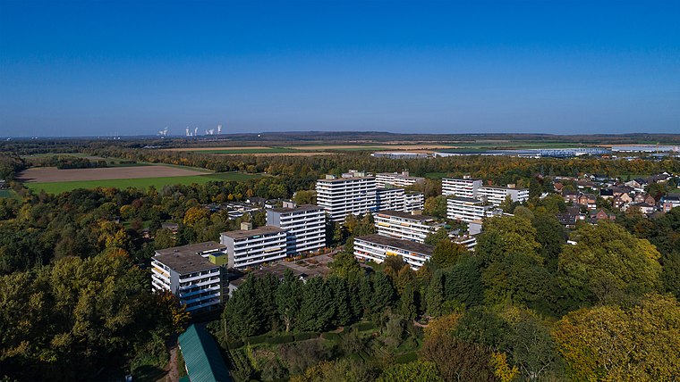
Explore places such as Special Cars and Wohnpark Türnich.
North Rhine-Westphalia: Must-Visit Destinations
Delve into Cologne, Düsseldorf, Bonn, and Dortmund.
Curious Kiosks to Discover
Uncover intriguing kiosks from every corner of the globe.
About Mapcarta. Data © OpenStreetMap contributors and available under the Open Database License". Text is available under the CC BY-SA 4.0 license, except for photos, directions, and the map. Photo: Daniel Schwen, CC BY-SA 2.5.