Neuer Friedhof Zaisering
Neuer Friedhof Zaisering is a cemetery in Vogtareuth, Rosenheim, Bavaria. Neuer Friedhof Zaisering is situated nearby to the fire station Freiwillige Feuerwehr Zaisering, as well as near the playground Spielplatz am Graben.| Tap on a place to explore it |
Places of Interest Nearby
Highlights include St. Vitus and Stolperstein dedicated to Elisabeth Block.
St. Vitus
Church

Photo: Rufus46, CC BY-SA 3.0.
St. Vitus is a church, which is situated 390 metres south of Neuer Friedhof Zaisering.
Stolperstein dedicated to Elisabeth Block
Memorial

Photo: Wikimedia, CC BY-SA 4.0.
Stolperstein dedicated to Elisabeth Block is a memorial, which is situated 1½ km south of Neuer Friedhof Zaisering.
Stolperstein dedicated to Gertrud Block
Memorial

Photo: Wikimedia, CC BY-SA 4.0.
Stolperstein dedicated to Gertrud Block is a memorial, which is situated 1½ km south of Neuer Friedhof Zaisering.
Places in the Area
Nearby places include Großkarolinenfeld and Rosenheim.
Großkarolinenfeld
Village

Photo: Wikimedia, Public domain.
Großkarolinenfeld is a municipality in the district of Rosenheim in Bavaria in Germany. It is located at the Munich–Rosenheim railway. The Großkarolinenfeld station is served about once per hour by local trains of the company Bayerische Regiobahn. Großkarolinenfeld is situated 5 km west of Neuer Friedhof Zaisering.
Rosenheim
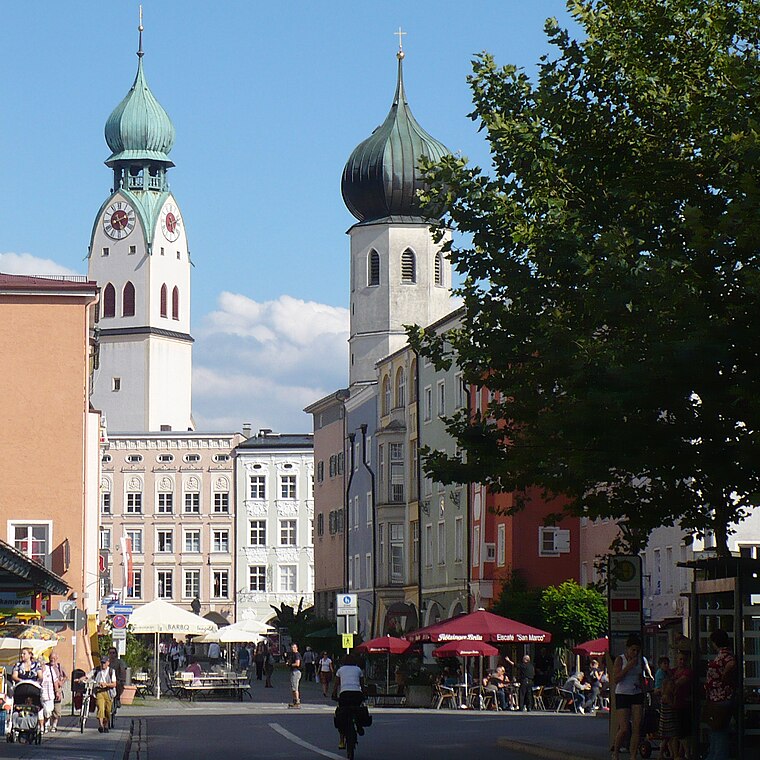
Photo: G.Piezinger, CC BY-SA 3.0.
Rosenheim is in the German state of Bavaria. It is south-east of Munich and has a population of 60,000.
Stephanskirchen
Village

Photo: Hg6996, CC BY-SA 3.0.
Stephanskirchen is a municipality in the district of Rosenheim, Upper Bavaria in Germany. Stephanskirchen is situated 6 km southeast of Neuer Friedhof Zaisering.
Neuer Friedhof Zaisering
- Type: Cemetery
- Denomination: Roman Catholic
- Category: burial
- Location: Vogtareuth, Rosenheim, Upper Bavaria, Bavaria, Germany, Central Europe, Europe
- View on OpenStreetMap
Latitude
47.90757° or 47° 54′ 27″ northLongitude
12.14782° or 12° 8′ 52″ eastOpen location code
8FVJW45X+24OpenStreetMap ID
way 359875653OpenStreetMap feature
landuse=cemeteryOpenStreetMap attribute
denomination=roman_catholic
This page is based on OpenStreetMap, Wikidata, and Wikimedia Commons.
We’d love your help improving our open data sources. Thank you for contributing.
Satellite Map
Discover Neuer Friedhof Zaisering from above in high-definition satellite imagery.
Notable Places Nearby
Highlights include Freiwillige Feuerwehr Zaisering and Spielplatz am Graben.
Nearby Places
Explore places such as Gmain and Gmain.
Upper Bavaria: Must-Visit Destinations
Delve into Munich, Ingolstadt, Dachau, and Rosenheim.
Curious Cemeteries to Discover
Uncover intriguing cemeteries from every corner of the globe.
About Mapcarta. Data © OpenStreetMap contributors and available under the Open Database License". Text is available under the CC BY-SA 4.0 license, except for photos, directions, and the map. Photo: Aconcagua, CC BY-SA 3.0.